Beach of Tolo, Nafplion, Argolis,Peloponnese
Acropolis of Asini
| Location: |
| Beach of Tolo, Argolis peninsula, Peloponnese |
| Region > Prefecture: |  |
| Peloponnese Argolis | |
| Municipality > Town: | |
| City of Nafplion • Beach of Tolo | |
| Altitude: | |
| Elevation ≈ 50 m |
| Time of Construction | Origin | |
| Antiquity | ANCIENT |
|
| Castle Type | Condition | |
| Ancient City |
Rather Poor
|
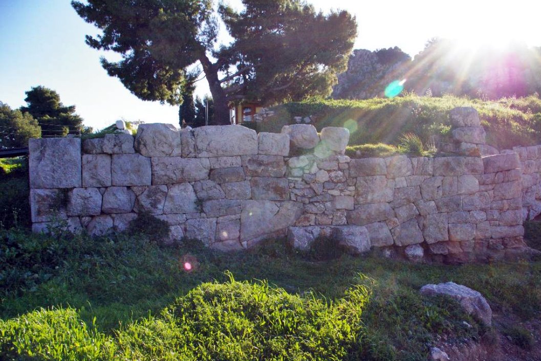
An ancient citadel that was in use during the middle ages and has been a Byzantine, Frankish and Venetian fort.
History
The acropolis of Asini was inhabited from the early years of the Bronze Age and reached its peak in the Mycenaean, Protogeometric and Geometric Ages. The ancient city is mentioned by Homer in the Iliad, while it was a source of inspiration for the nobelist Giorgos Seferis for his poem “King of Asini”.
The construction of the walls that have survived to this day is believed to have been done during the Hellenistic period, around 300 BC, by Demetrius Poliorkitis (the Besieger).
The walls of the ancient acropolis were repaired during the Byzantine period, probably under Justinian, in the 6th century.
Some reinforcement of the fortification was made during the hasty effort of the Sgouros family (who were the rulers of the region in the late 12th-early 13th century) to strengthen the defense of the northeastern Peloponnese after the fall of Constantinople in 1204.
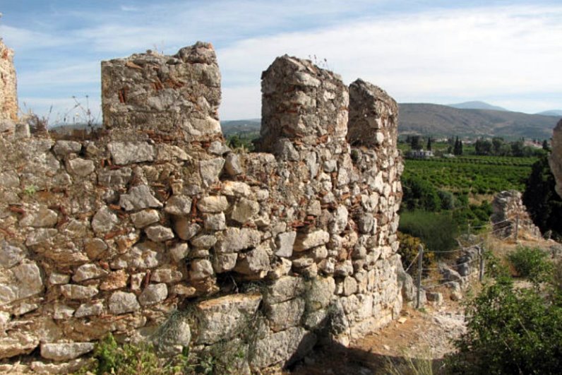
During the Frankish period, from the beginning of the 13th to the end of the 14th century, the fortifications were completed, rectangular crenelations were added and the towers were repaired.
In 1388 Asini, like the entire Argolis, was bought by the Venetians who must have stayed there until 1540, when the Ottomans captured the rest of the Peloponnese.
In 1686 the Venetians returned. General Morosini's troops disembarked on the beach of Tolo and from there they headed further north to capture Nafplion, thus starting the period of the Second Venetian Occupation which lasted until 1715.
The Venetians, in this second period, made some repairs to the castle. Small interventions were also made later by the Turks. It seems that the citadel remained in use until the 19th century and was abandoned when Tolo was developed after 1830.
Assini was used for the last time in World War II by the Italian occupying forces who also built some fortifications and guard posts.
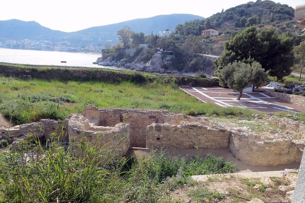
The first excavations in the Acropolis and the Lower City were carried out by the Swedish Archaeological Mission (1922-1930) under the supervision of the then heir to the Swedish throne Gustavus, and continued in the 1970s by the 4th Eforeia of Prehistoric and Classical Antiquities in collaboration with the Swedish Institute of Athens.
Structure, Fortification & Buildings
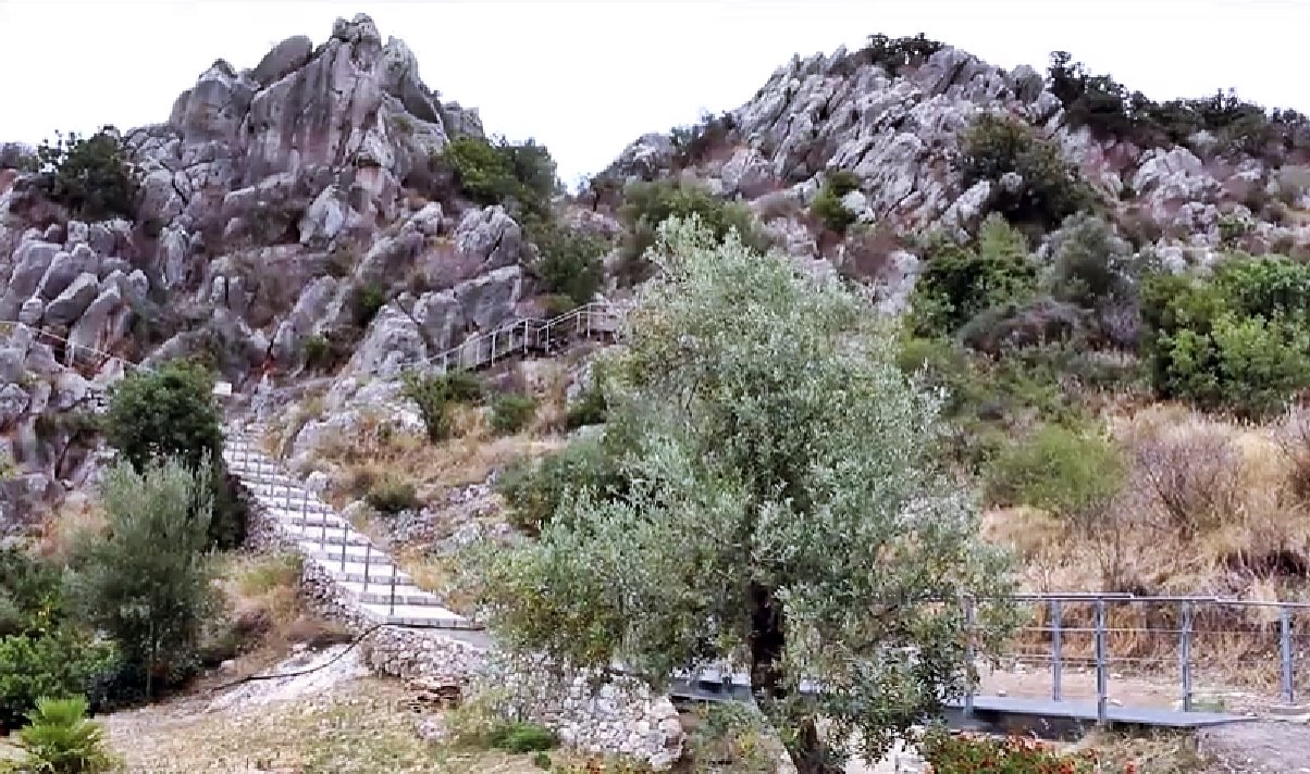
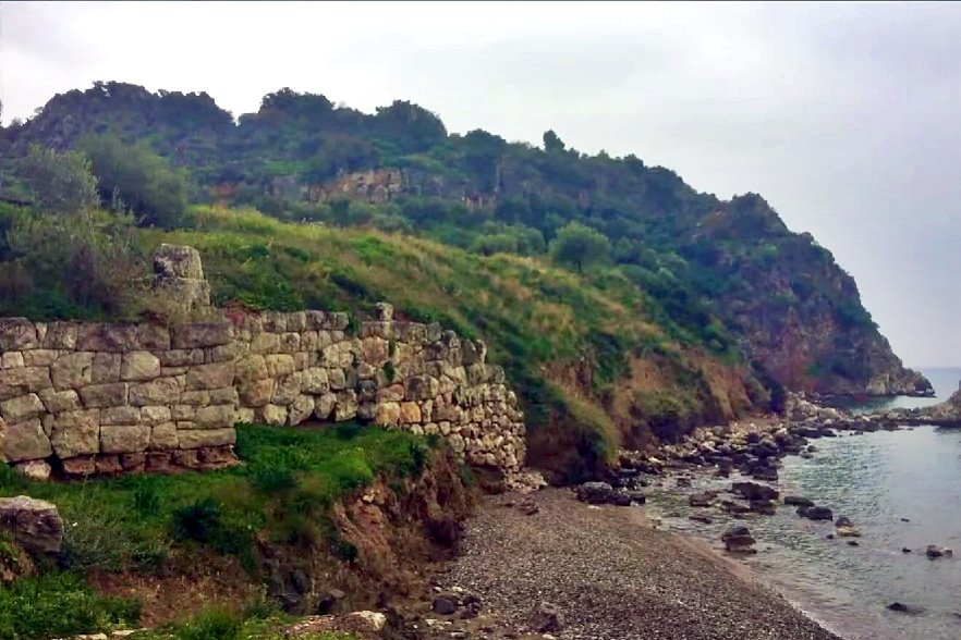
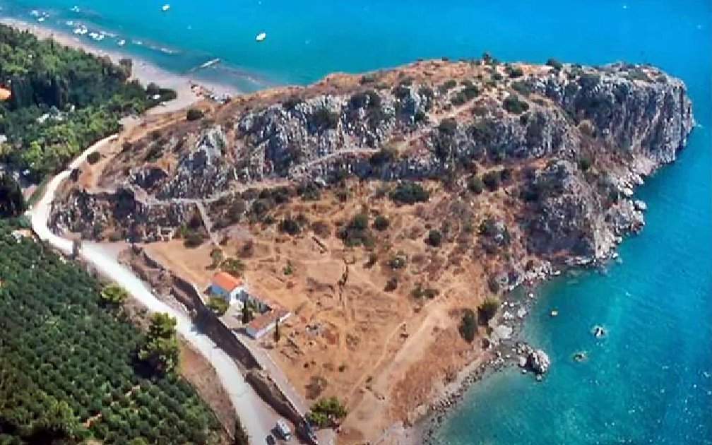
Ancient Asini is located on the rocky triangular peninsula “Kastraki” which is 350m long with a maximum width of 140m. It is located 1 km east of Tolo in Argolid. The peninsula does not have a high altitude but the rocks are steep, with a very rough terrain.
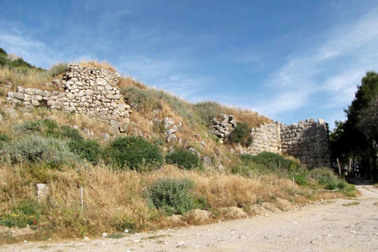
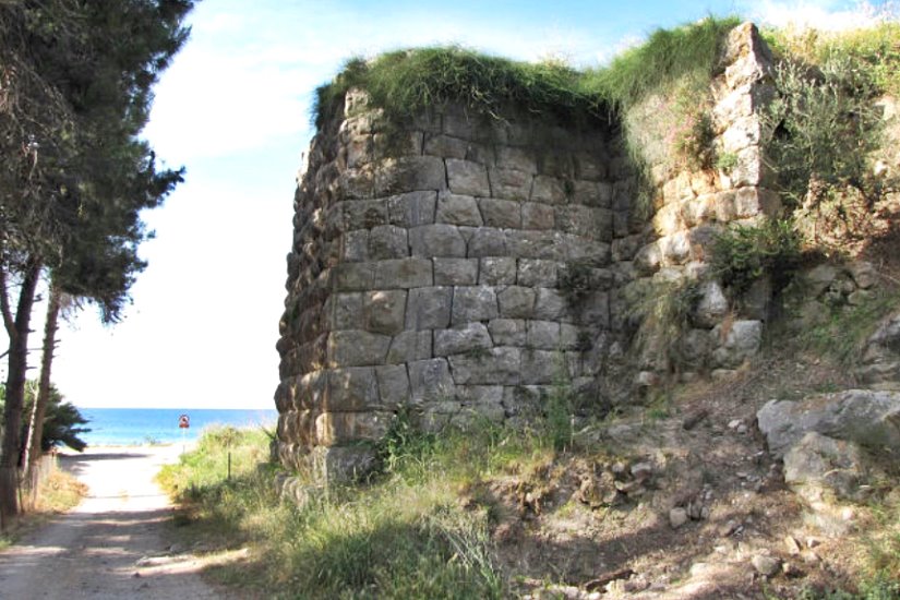
The Hellenistic and medieval fortification does not occupy the entire peninsula but a large plateau at the upper point with an area of approximately 13,000 sq.m.. The perimeter of the fortification was 450 meters.
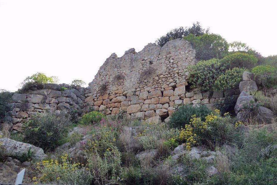
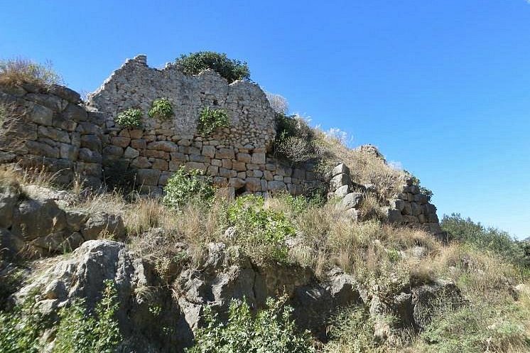
Of the fortification, what survives are the Hellenistic walls – not their entire length. It is certain that the walls did not cover the entire perimeter as the rocks provided sufficient defensive protection (however, we do not have a good picture of the original form of the fortification).
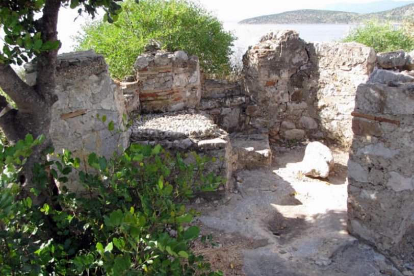
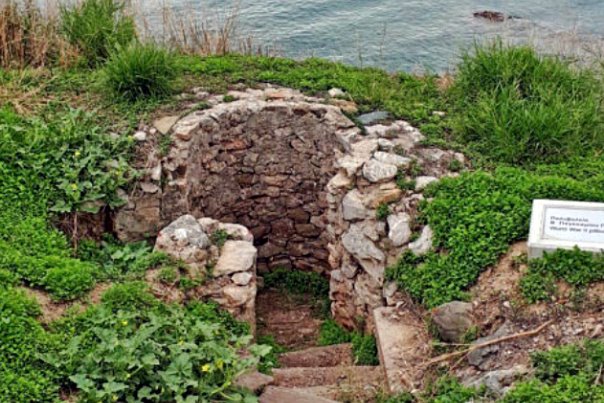
In some places the later medieval and Venetian additions are also visible.
| First entry in Kastrologos: | June 2013 | Last update of info and text: | May 2024 | Last addition of photo/video: | May 2024 |
Sources
- Website Δήμος Ναυπλιέων - Αρχαία Ασίνη / Καστράκι
- Video by the user Ελληνικός Ήλιος Αρχαία Ασίνη Αργολίδας / Ancient Asini, Argolida, Greece
- ΑΡΧΑΙΟΛΟΓΙΚΟΝ ΔΕΛΤΙΟΝ, τεύχος 51-Β1 (1996), σελ. 90-92
- Website SWEDISH INSTITUTE OF ATHENS - Ασίνη, Αργολίδα (1922, 1924, 1926, 1930, 1970–1974, 1976–1978, 1985, 1989–1990, 2021)
- Γεωργία Ήβου, «Αρχαία Ασίνη», archaiologia.gr, online pdf
- Λόης Γεώργιος, «ΑΡΧΑΙΑ ΑΣΙΝΗ», Περιοδικό Στρατιωτική Ιστορία, Τεύχος 294, Φεβρουάριος 2022
|
|
| Access |
|---|
| Approach to the monument: |
| - |
| Entrance: |
| ? |


