Kastro, Thasos, Kavala,East Macedonia & Thrace
Castle of Kastro of Thasos
| Location: |
| At the edge of the village Kastro in the middle of the island of Thasos |
| Region > Prefecture: |  |
| East Macedonia & Thrace Kavala | |
| Municipality > Town: | |
| City of Thasos • Kastro | |
| Altitude: | |
| Elevation ≈ 490 m |
| Time of Construction | Origin | |
| mid 13th cent. | Late-BYZANTINE |
|
| Castle Type | Condition | |
| Castle Ruins |
Rather Poor
|
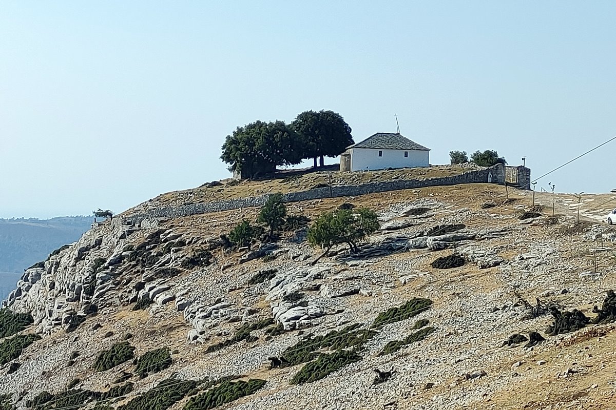
Remains of a medieval castle on a rock on the south side of Kastro village in the center of Thassos.
In the center of the village – outside the castle – is the church of Agios Athanasios, in the masonry of which marble inscriptions from to the castle have been embeded in the walls and preserved giving valuable historical information.
History
The castle is of the Late-Byzantine era.
Its history begins in the middle of the 13th century (before 1287) and stops at the beginning of the 20th century, when it was abandoned.
For the late Byzantine period and the Turkish rule, we find several references in the historical sources concerning the Castle and the island of Thassos in general. Also, three marble inscriptions on the masonry of the church of Agios Athanasios in the center of the village, give important information about the Castle for the period of the beginning of the 15th century.
The first inhabitants of the settlement of Kastro came from the current village of Kalyvia or Mesi. During the time of the Crusades, Mesi and other coastal settlements of Thassos suffered great destruction. The insecurity that prevailed after the fall of Constantinople by the Latins in 1204 combined with pirate raids led to the abandonment of the coastal villages and their re-establishment in the interior. Then the inhabitants of Mesi, after 1204, went up to the mountains to protect themselves and one kilometer south of the current Castle they founded a settlement that oral tradition preserves under the name Agios Efstratios. A remnant of this settlement is the church of Agios Efstratios. A few years later, the surrounding settlements together with the residents of Agios Efstratios withdrew for security reasons in the most fortified position in the area of the current Kastro.
The earliest reference to the settlement of Kastro is in a chrysobulus of the emperor Andronikos II Palaiologos in 1287, which validates the rights of the Philotheos Monastery of Mount Athos in a dependency in Neokastro.
Consequently, as early as 1287 a fortified settlement had been created in the Kastro. This new castle was built sometime before 1287, in the 13th century, and was called Neokastro (=new castle), as opposed to Paliokastro Kalyvion which existed above the settlement of Kalyvion (Mesis).
Structure, Fortification & Buildings
The castle covered an area of approximately 3,000 sq.m., which was protected by a fortified enclosure with a perimeter of 215 meters.
From the medieval fortification, today there are few ruins of the perimeter wall and a vaulted water tank (cistern) that originally was the base of a rectangular tower in the interior of the castle.
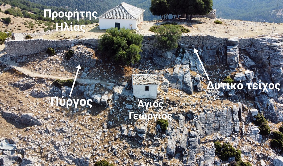
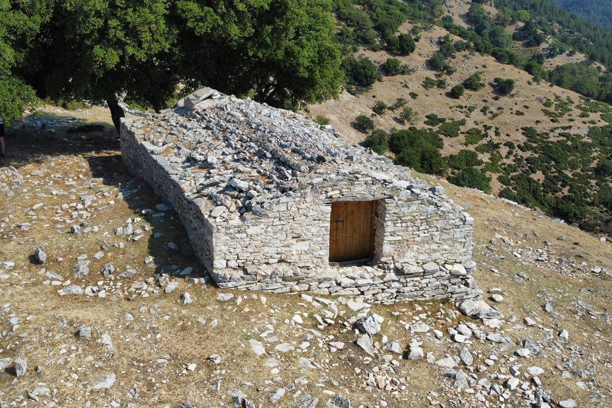
Inside the enclosure there is today the church of Prophet Ilias (dated 1862) and outside, next to the western wall, the chapel of Agios Georgios. There are also the remains of a tower on the west wall.
We should point out that the area of the fortress suffered significant changes over the years, and in the period 1828-1940 it was turned into a cemetery.
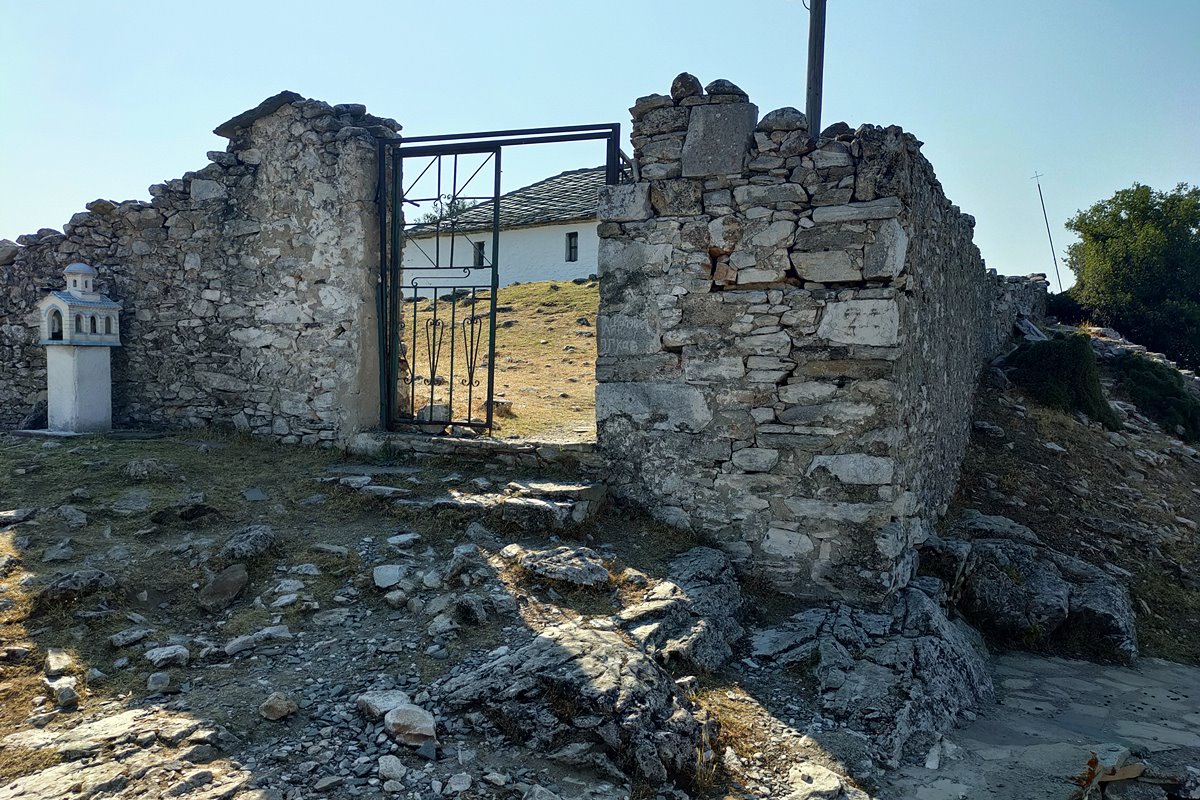
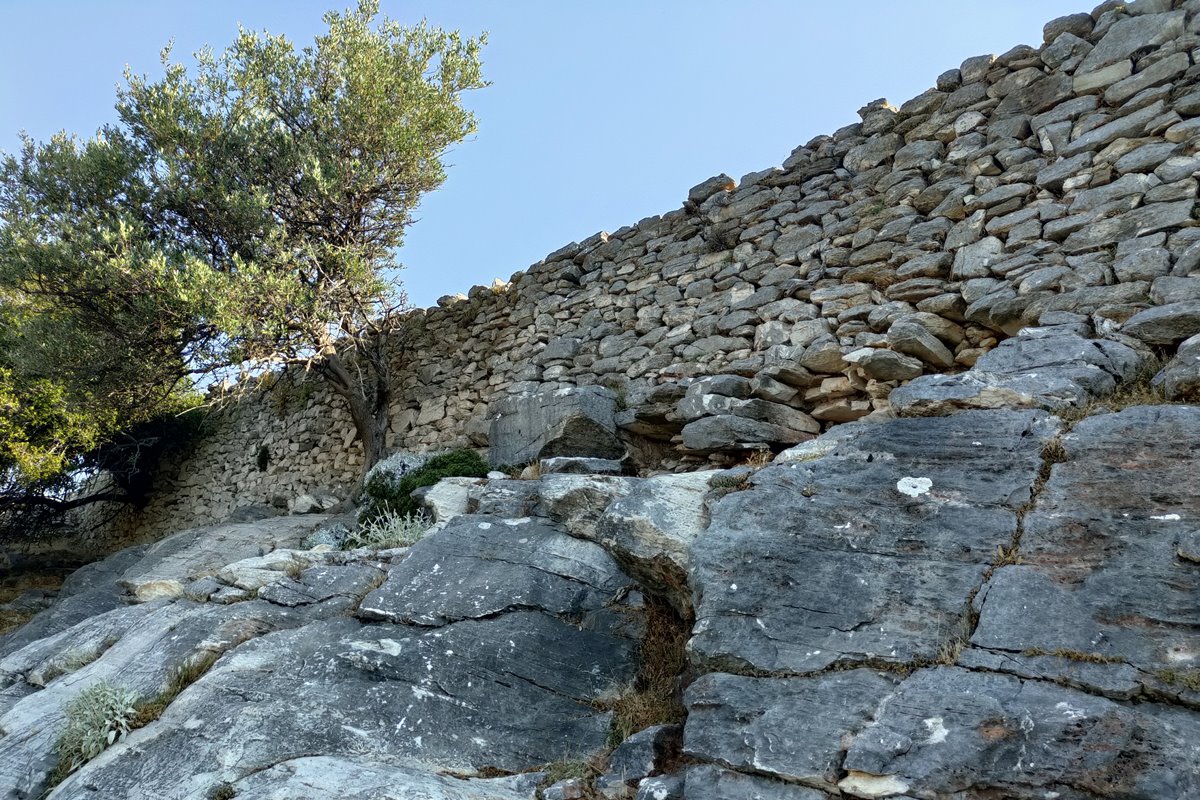
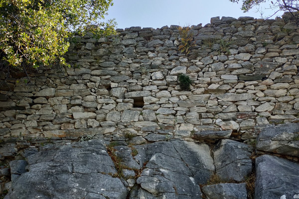
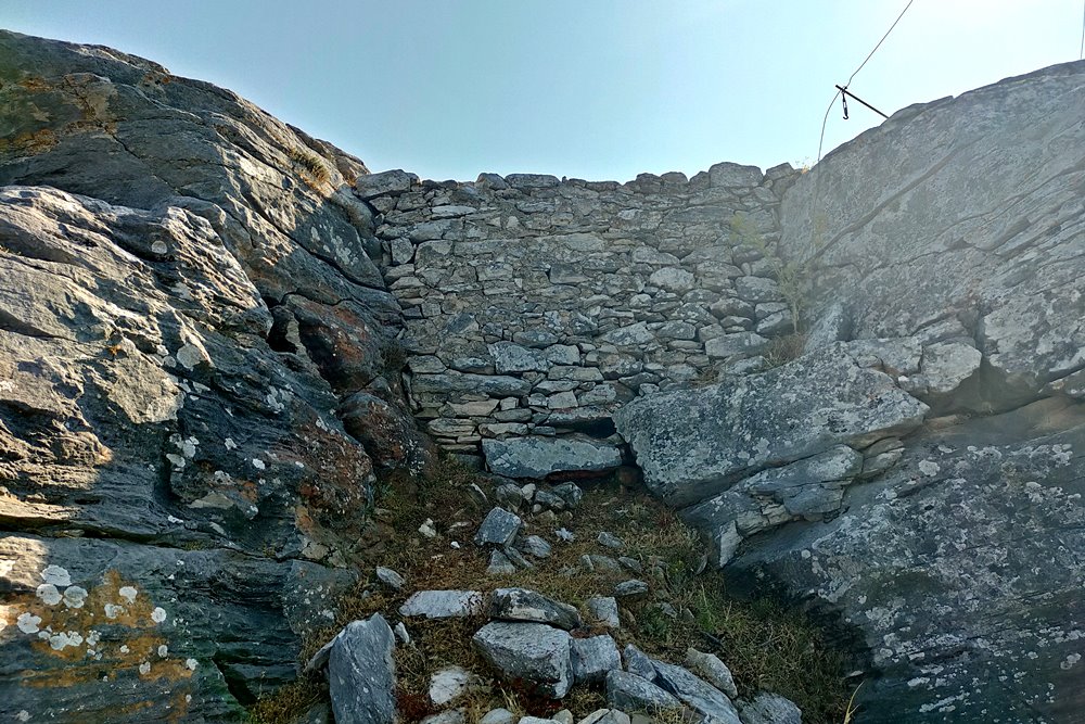
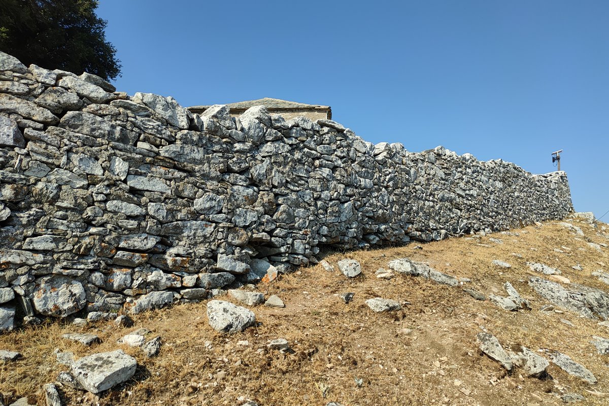
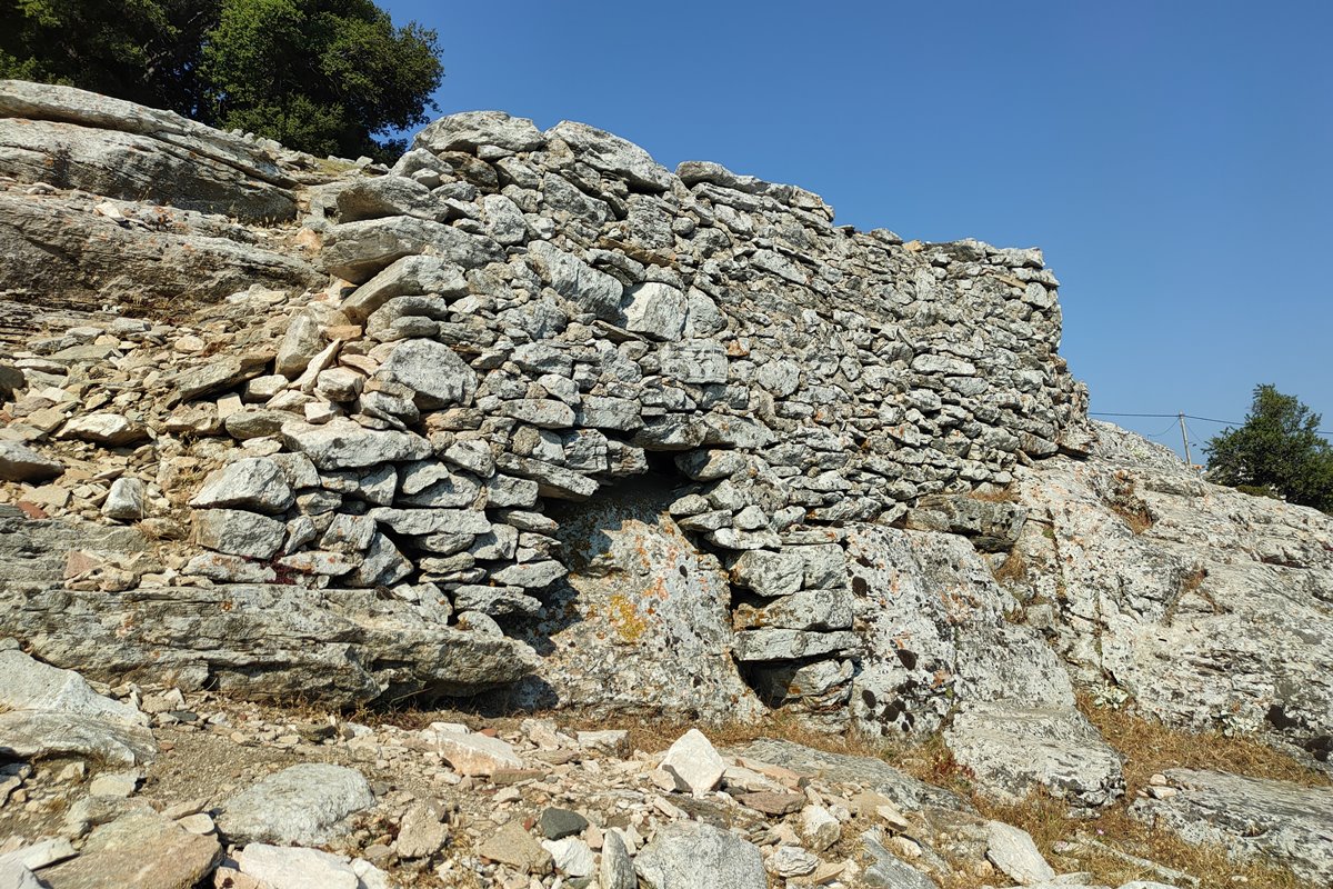
The perimeter wall is not in good condition. Its construction consists of stones of different sizes with connecting mortar between them. The perimeter follows the rugged terrain. The only passable entry point for the fort was the north-west vulnerable side where the gate is today. The rest of the sides are fairly unassailable being very steep to vertical.
The best preserved part of the wall is to the northwest, where the gate is today, with a height of 3.20 meters.
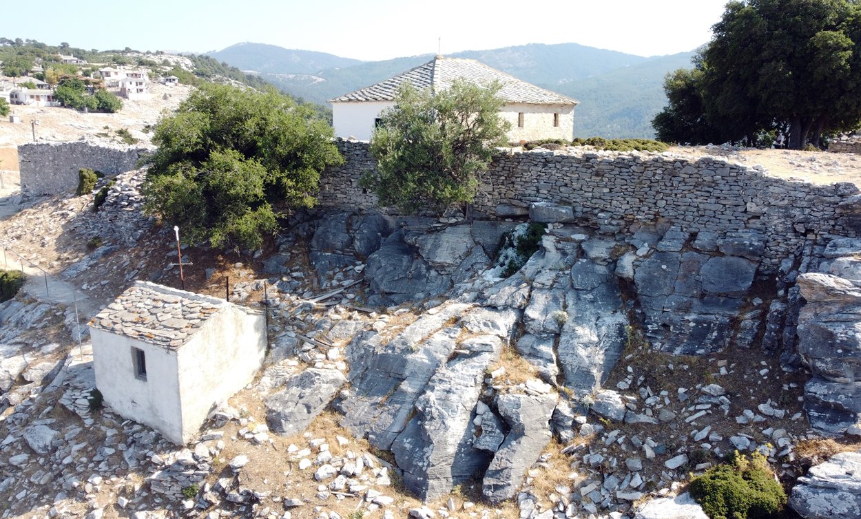
On the western side, a continuous wall of almost 50 meters in length has been preserved, with an average height of 2 to 2.5 meters and a thickness of 1.10 meters (photos 4-9).
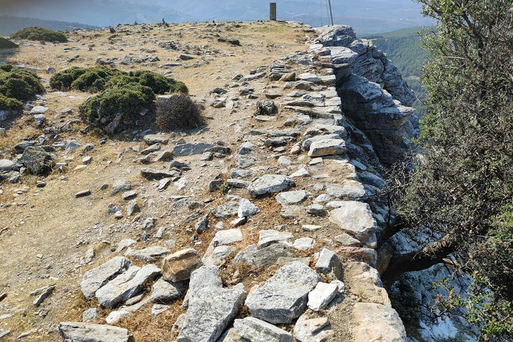
On the north and east sides a wall is also preserved, but at a lower height: 1 to 1.5 meters (photo 12).
On the inaccessible south-southwest side where the rocks are vertical, traces of the wall are lost. There probably never was a wall there.
On the western wall are visible the ruins of a destroyed tower (photo 14) next to the chapel of Agios Georgios.
In the interior there is a water tank (cistern) with dimensions of 9✖4m meters (photo 13), which seems to have been the base of a tower or a tower house (it was very common to have tanks on the ground floor or the basement of the medieval towers). The cistern was used as an ossuary during the use of the site as a cemetery (1828-1940).
| First entry in Kastrologos: | May 2024 |
Sources
- Presentation, research and photos by Sakis Amfitreidis and his blog ΑΜΦΙΤΡΕΙΔΗΣ (August 2023)
- Χαράλαμπος Μπακιρτζής, «ΤΡΕΙΣ ΕΠΙΓΡΑΦΕΣ ΣΤΟ ΚΑΣΤΡΟ ΤΗΣ ΘΑΣΟΥ», Θασιακά τόμ.1, Καβάλα 1984, σελ. 7-20
- Σαπφώ Αγγελούδη-Ζαρκάδα, «Η αρχιτεκτονική των μεταβυζαντινών εκκλησιών της Θάσου–Ιστορική, κοινωνική και κατασκευαστική προσέγγιση», Διδακτορική Διατριβή Αριστοτέλειο Πανεπιστήμιο Θεσσαλονίκης (ΑΠΘ), Καβάλα 2011
- Αυγουστίδης Γεώργιος, «ΑΓΙΟΣ ΑΘΑΝΑΣΙΟΣ ΚΑΣΤΡΟΥ», Θάσος, 2015, σελ. 7-30.
|
|
| Access |
|---|
| Approach to the monument: |
| An 11-kilometer asphalt road starts from Limenaria and leads to the village of Kastro. |
| Entrance: |
| Free access. |
| Other castles around |
|---|
| Tower of Glyfoneri |
| Castle of Kallirachi |
| Castle of Kalyvia |
| Acropolis of Thasos |
| Castle of Theologos |


