Kallirachi, Thasos, Kavala,East Macedonia & Thrace
Castle of Kallirachi
| Location: |
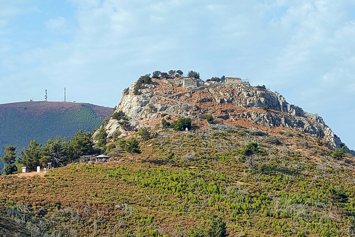
| On the pointed top of a conical hill above the vilage Kallirahi of Thassos island |
| Region > Prefecture: |  |
| East Macedonia & Thrace Kavala | |
| Municipality > Town: | |
| City of Thasos • Kallirachi | |
| Altitude: | |
|
Elevation ≈ 470 m (Relative Height≈290 m) |
| Time of Construction | Origin | |
| Probably 14th cent. | Late-BYZANTINE |
|
| Castle Type | Condition | |
| Castle Ruins |
In Ruins
|
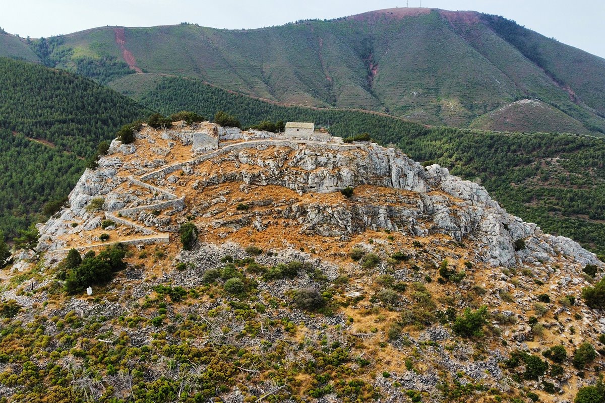
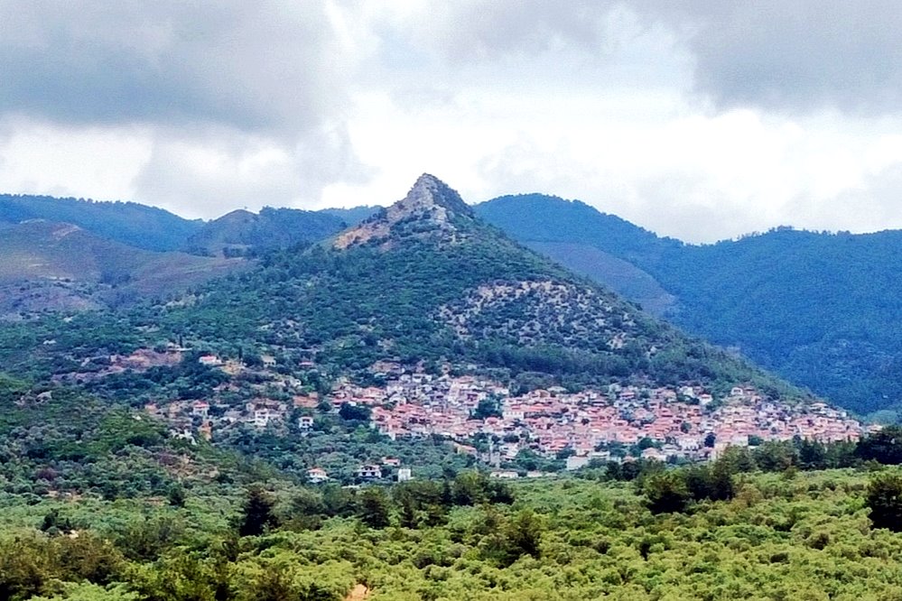
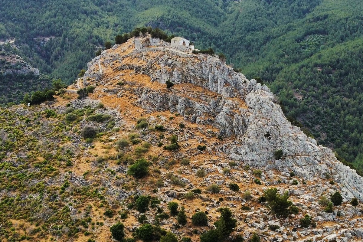
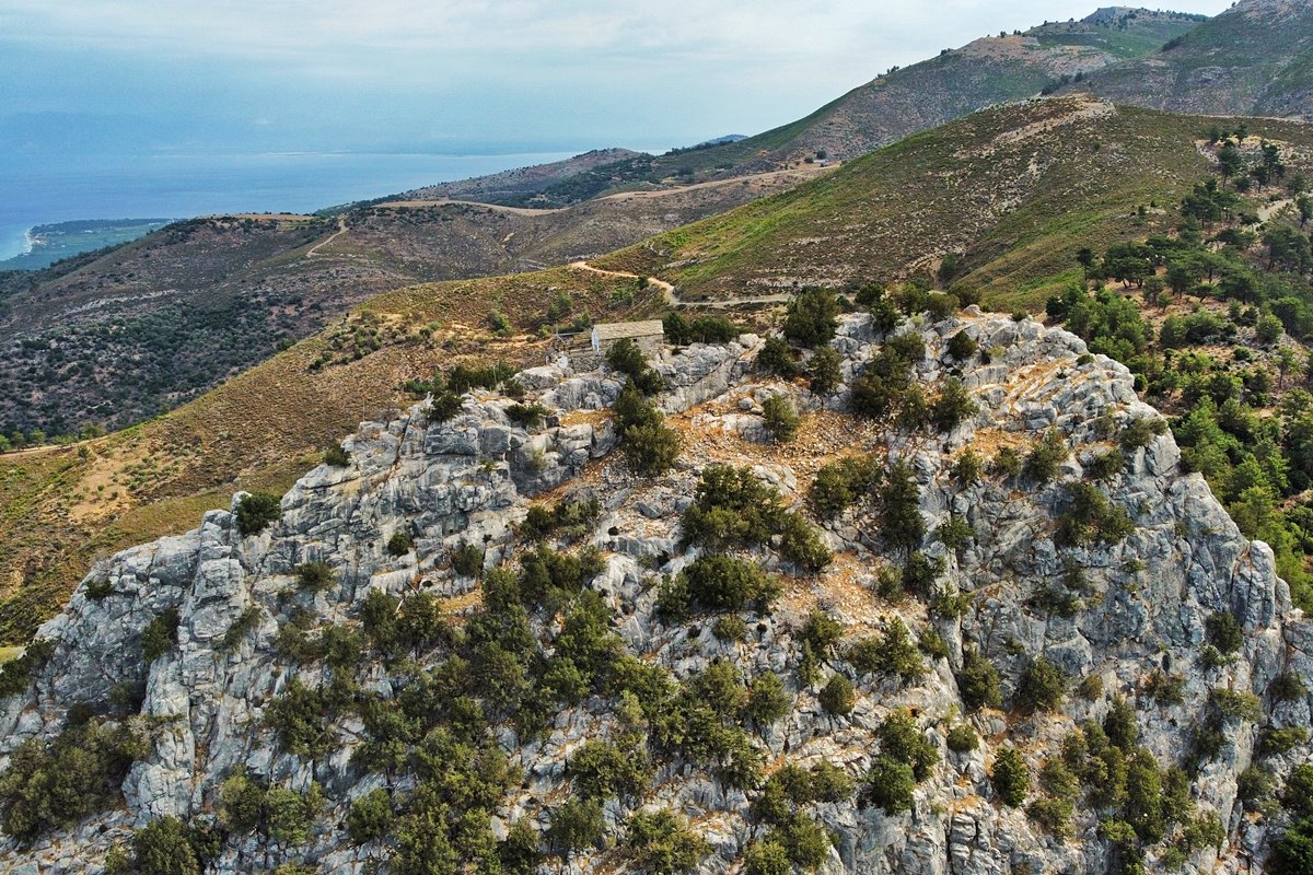
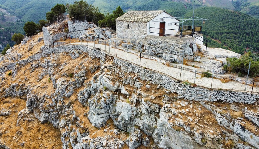
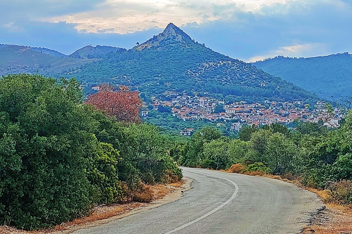
Ruins of a castle and settlement above the village of Kallirachi in Thassos island, on a pointed rocky hill called “Kakirachi” or “Metamorfosi”.
This is the medieval fortified settlement of Kakirachi, which is mentioned by several historical sources.
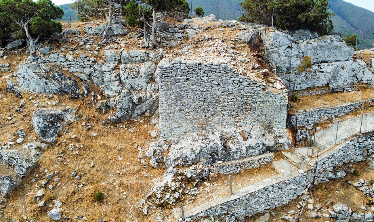
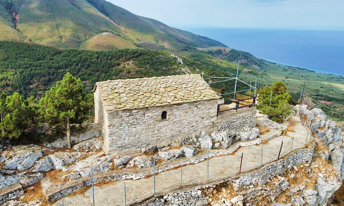
A ruined tower and the renovated church of the Matamorfosis (Transfiguration of Jesus ) stand out from the castle at the top. The remaining ruins from the abandoned since the 18th century settlement of Kakirachi are scattered on the northern slope of the hill.
History
The fortified settlement of Kakirachi is known from historical sources. The reports that exist lead to the conclusion that it dates back to the Late Byzantine Period, from the 14th century onwards. It continued to be inhabited until the middle of the 18th century.
The castle is reported by various travelers and in Ottoman tax registries as one of the 3 castles of the island, the other two being Lemenas and Kastro.
Structure, Fortification & Buildings
The hill has natural protection since it is steep on all sides. Its top was the citadel of the medieval settlement of Kakirachi and had a perimeter fortification, of which few ruins survive today.
The perimeter of the acropolis is 150 meters and the area is about 700 sq.m. (with dimensions of 70✖10m).
The only passable point of approach to the fortified settlement was from the north-eastern slope (photo 16) through a smooth neck formed by a neighboring hill.
The settlement of Kakirahi spread over the entire northern slope. Today, foundations and ruins of the buildings of the settlement can be seen.
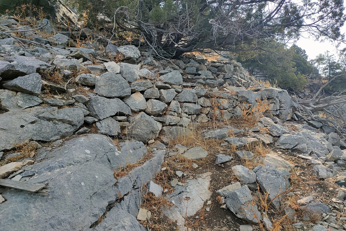
For the ascent to the top from the neck there is a stone-paved winding path.
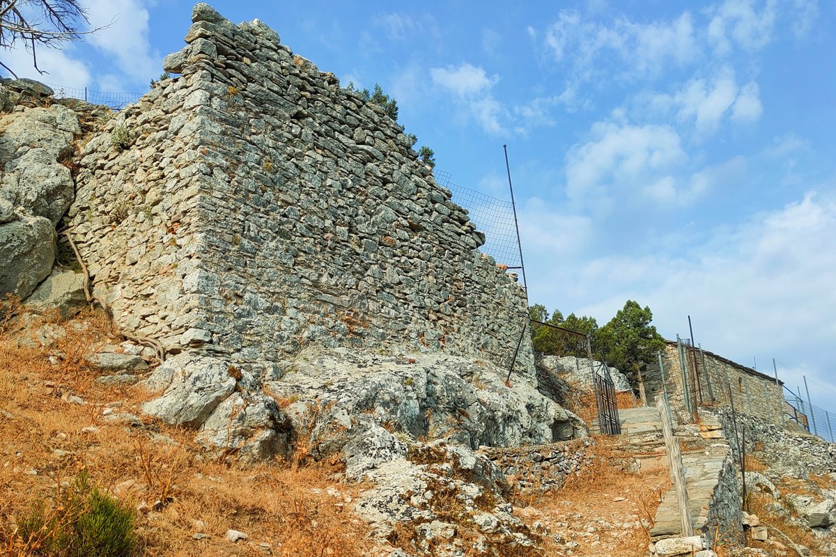
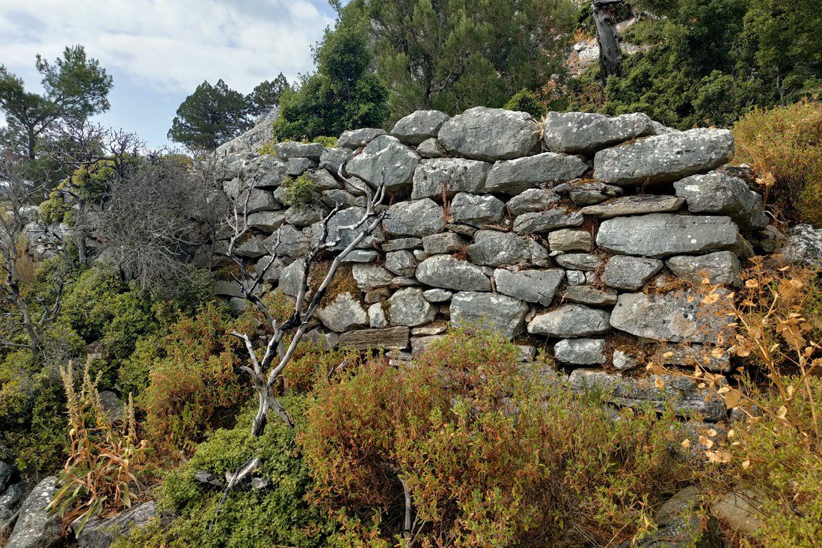
At the top, the dominant fortification element is a massive tower (photos 4,5) which probably protected the entrance to the castle. It is a rectangular tower with a width of 7 meters on the north side and a maximum height of 4 meters. The masonry of the tower consists of stones with connecting mortar between the stones. The sides are 3.5m long. and 2.5 m.
The top was surrounded by a wall, which today is completely destroyed. In some places only the foundations of the wall can be seen. The most visible parts of the wall are next to the tower.
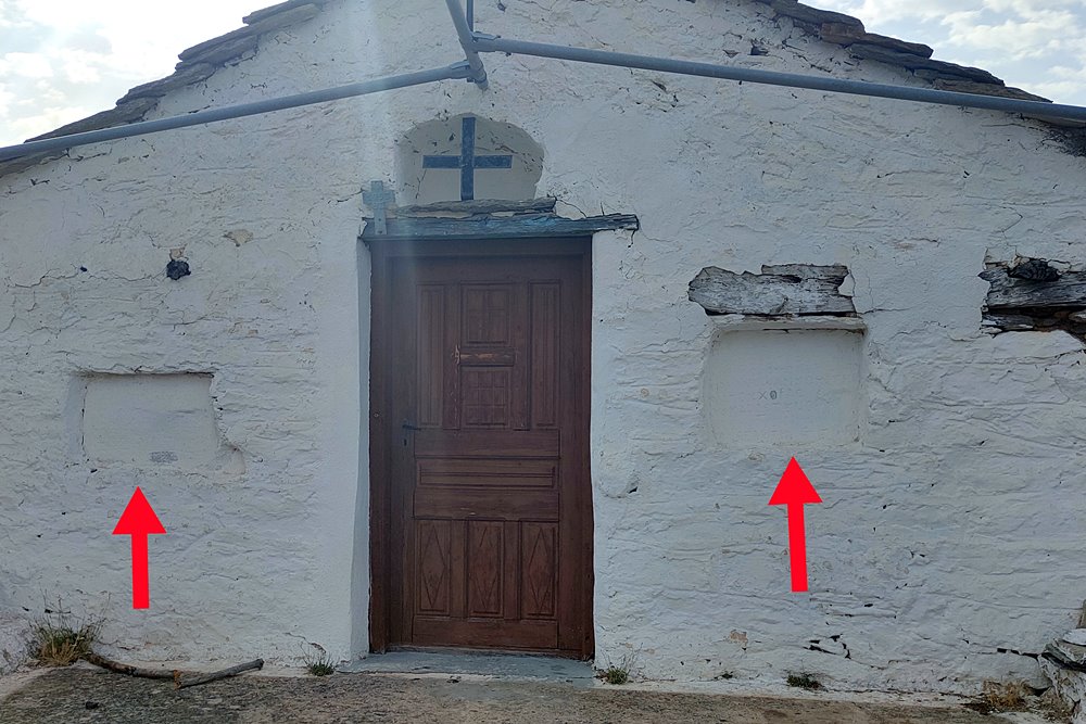
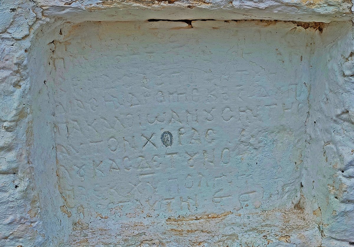
At the western corner of the peak is the Church of the Transfiguration of the Savior. It is a late Byzantine church with later repairs/additions, in which there are two built-in inscriptions to the left and right of the entrance (photo 14).
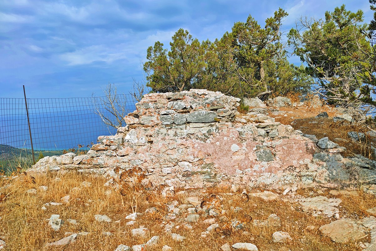
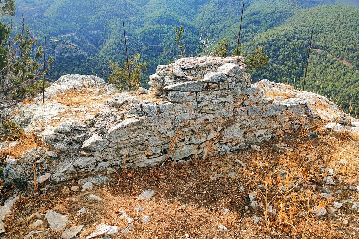
At the eastern end of the top of the hill, where it is the highest point, was the water tank (cistern) of the castle (photos 7,8). What remains today is the western wall of the water tank which is preserved at a height of 1m and a length of 4m. Inside the remaining wall, traces of the hydraulic mortar coating that sealed the tank can be seen.
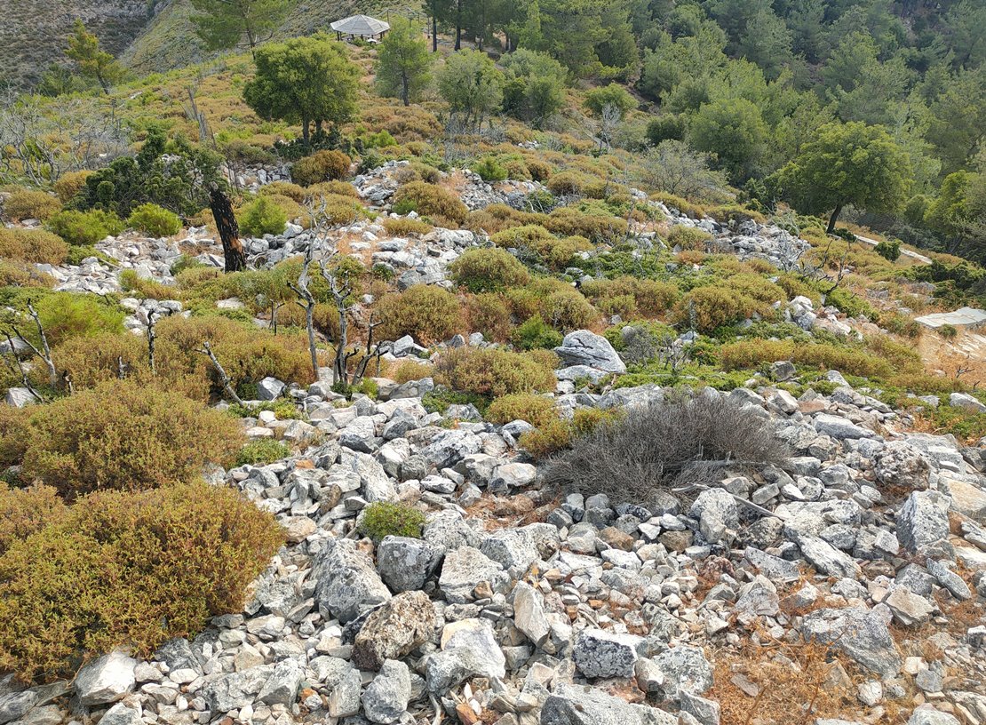
The settlement of medieval Kakirahi spread out on the northern slope of the hill (photo 10). The largest mass of ruins can be seen on the northeast side. Between the piles of stones, foundations of small rooms built with dry stones can be seen, following the slope of the ground. Foundations of small single space chapel are also preserved.
At the beginning of the steep southern slope, immediately after the summit, several foundations of buildings can be seen at a low height (photo 12). There were probably a few houses on this side of the hill as well.
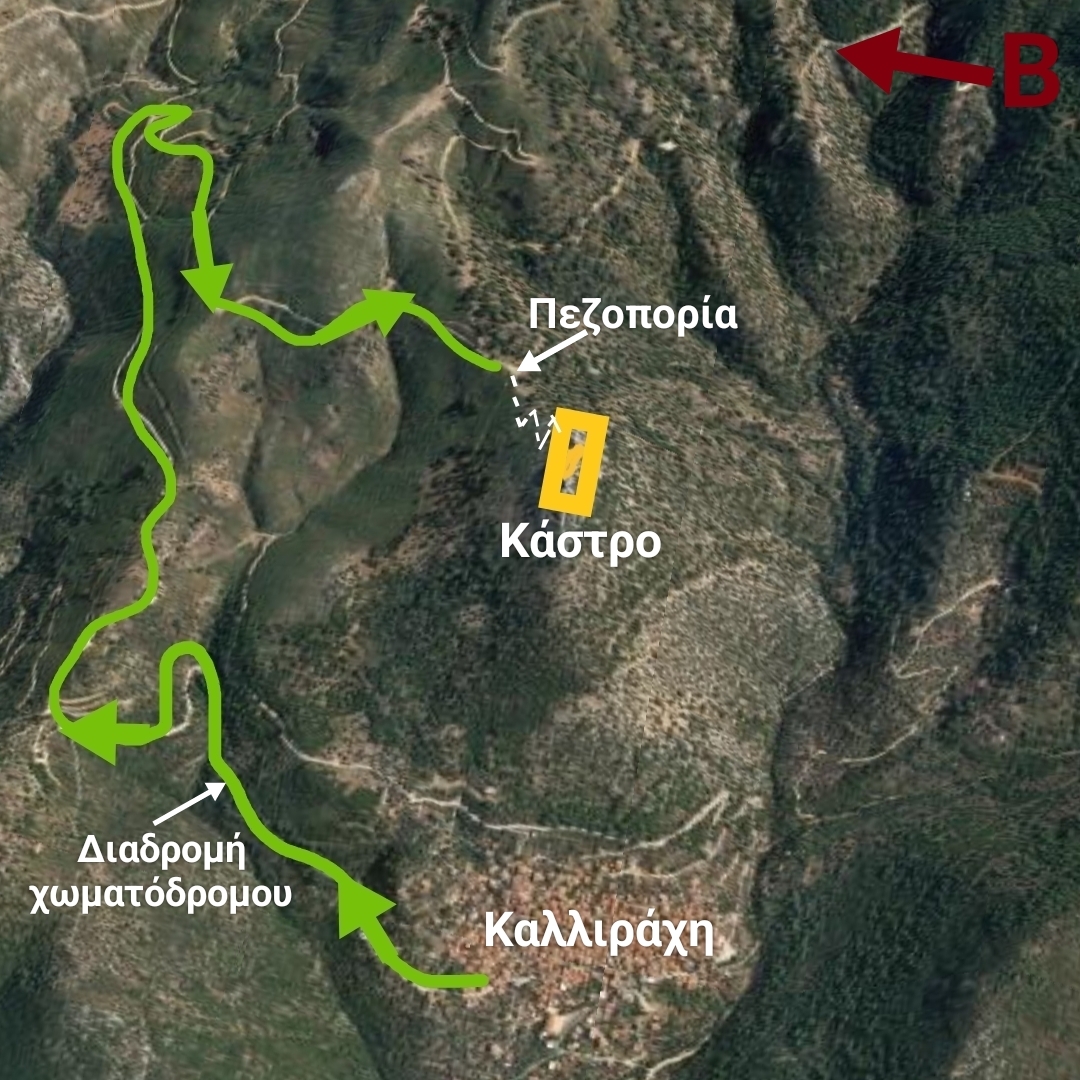
The approach to the castle:
| First entry in Kastrologos: | August 2024 |
Sources
- Presentation, research and photos by Sakis Amfitreidis and his blog ΑΜΦΙΤΡΕΙΔΗΣ (August 2024)
- Σταυρούλα Δαδάκη-Christophe Giros, ΤΟ ΑΡΧΑΙΟΛΟΓΙΚΟ ΕΡΓΟ ΣΤΗΝ ΜΑΚΕΔΟΝΙΑ ΚΑΙ ΣΤΗΝ ΘΡΑΚΗ- ΤΟΜΟΣ 5 (1991), σελ: 386-388
- Σαπφώ Παν. Αγγελούδη Ζαρκάδα, «Η αρχιτεκτονική των μεταβυζαντινών εκκλησιών της Θάσου-Ιστορική, κοινωνική και κατασκευαστική προσέγγιση» (Διδακτορική διατριβή), Καβάλα 2011, σελ. 52-60, 184, 187 και χάρτες 3 και 4 στο κεφ.3.2.
|
|
| Access |
|---|
| Approach to the monument: |
| An uphill, difficult dirt road starts from the northern edge of the village. After a 4 km route we reach a plateau with a wooden gazebo. From there we hike on a short path to the top. |
| Entrance: |
| Free access. |
| Other castles around |
|---|
| Tower of Glyfoneri |
| Castle of Kalyvia |
| Castle of Kastro of Thasos |
| Acropolis of Thasos |
| Castle of Theologos |


