Vergi, Visaltia, Serres,Central Macedonia
Castle of Nikokleia
| Location: |
| On a hilly area 4km SW of Nikokleia and 4km south of Vergi in Serres prefecture in Macedonia |
| Region > Prefecture: |  |
| Central Macedonia Serres | |
| Municipality > Town: | |
| City of Visaltia • Vergi | |
| Altitude: | |
|
Elevation ≈ 345 m (Relative Height≈80 m) |
| Time of Construction | Origin | |
| Before 6th century | Early ΒΥΖΑΝΤΙΝΕ |
|
| Castle Type | Condition | |
| Castle Ruins |
In Ruins
|
Remains of a castle on a hill in the location “Isar” (from the Turkish hisar meaning castle) which is about 4 km from Nikokleia (to the W) and a little less than Vergi (to the SW).
The hill has dense vegetation and is naturally protected with two torrents flowing in its foothills.
History
We do not know the history of the castle, which is rather ancient with limited medieval use.
It is believed (without being certain) that here was a Roman station that was in use in late antiquity until the early Byzantine period, before the 6th century.
Structure, Fortification & Buildings
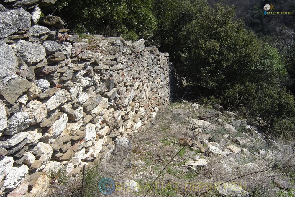
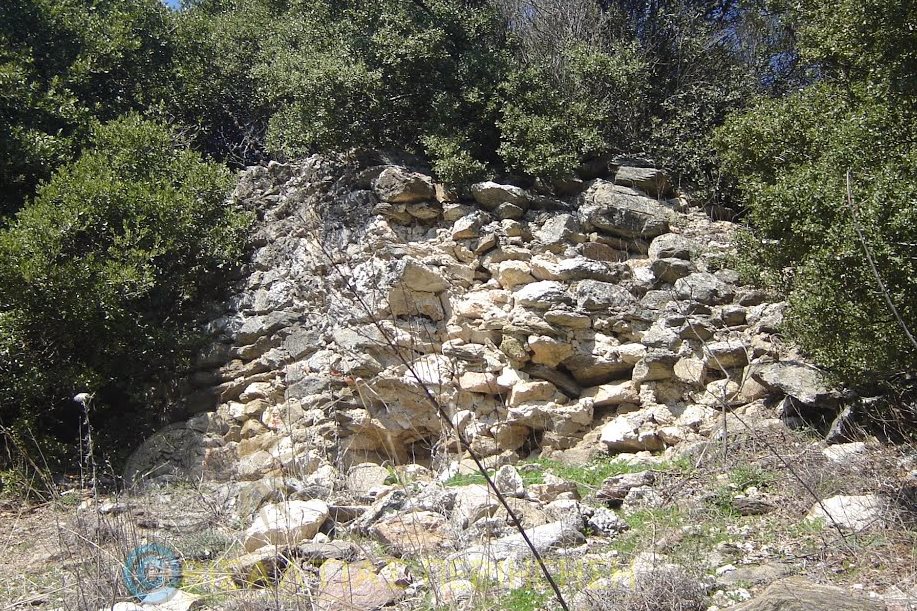
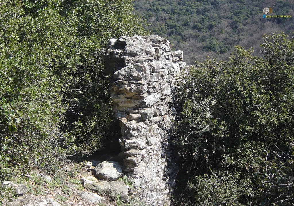
Various scattered parts are preserved from the castle, the largest being 3.5m long.
Its masonry consists of irregular gray stones as well as slate that are connected with plaster and in a few places with tiles in between. The maximum height on the south side, where the foundation of a tower is visible, reaches 2.5m. The thickness of the walls is about 1.5 m.
A few surface pottery remains of late Roman period have been found on the hill.
On the south side of the castle ends a paved old road. There was probably a gate there.
| First entry in Kastrologos: | August 2020 |
Sources
- Samsaris, (2004)“ Byzantine places and monuments of the lower valley of the Strymon river. ”, page 693,694
- Pictures from Panoramio, user ΒΙΣΑΛΤΙΑΣ ΠΕΡΙΗΓΗΣΗ
(the website is no longer available)
|
|
| Access |
|---|
| Entrance: |
| Free access |


