Melanthio, Kilkis, Central Macedonia
Castle of Melanthio
| Location: |
| On a wooded hill 3 km N-NW from the village of Melanthio and 4 km SE from the village of Eptalofos in the prefecture of Kilkis. |
| Region > Prefecture: |  |
| Central Macedonia Kilkis | |
| Municipality > Town: | |
| City of Kilkis • Melanthio | |
| Altitude: | |
|
Elevation ≈ 475 m (Relative Height≈100 m) |
| Time of Construction | Origin | |
| perhaps 3rd-4th cent. | Early ΒΥΖΑΝΤΙΝΕ |
|
| Castle Type | Condition | |
| Castle Ruins |
In Ruins
|
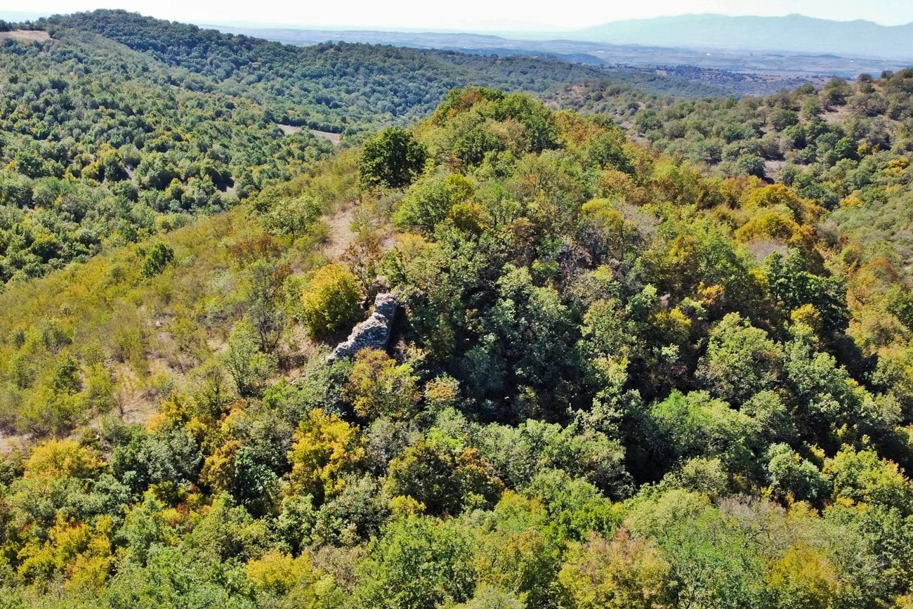
Ruins of a large unidentified medieval castle on a wooded hill 3 km N-NW from the village of Melanthio and 4 km SE from the village of Eptalofos in the prefecture of Kilkis.
Location & Strategic Scope
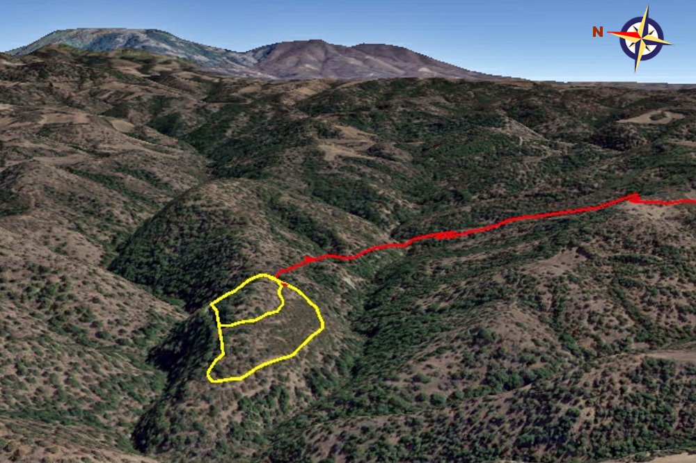
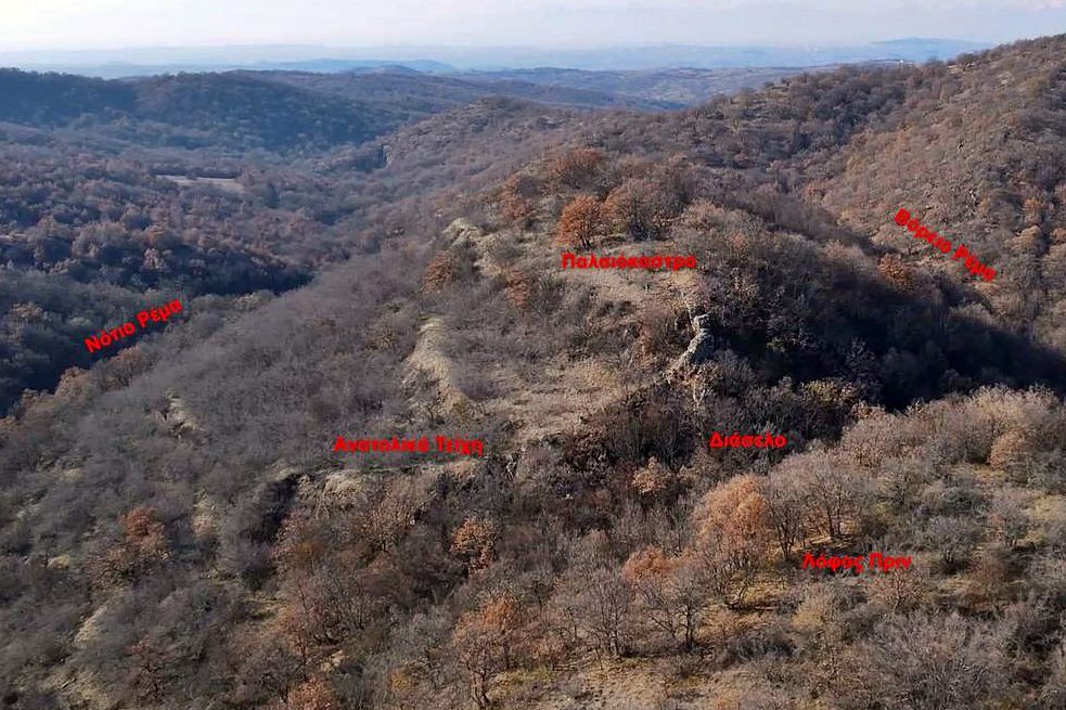
The ruins of the castle surround the hilltop above the confluence of two streams.
The place has adequate natural protection, but is far from any pass and also far from cultivated land. It is clear that the primary reason for the creation of the castle in this remote location was to protect the population from enemy raids. It may have been hastily created to fortify (or hide) the inhabitants in the face of some great threat. .
History
The history of the castle is not known. It has not been identified with any castle from the historical sources. Its original name is also unknown (“Melanthio” is simply the modern name of the nearest village).
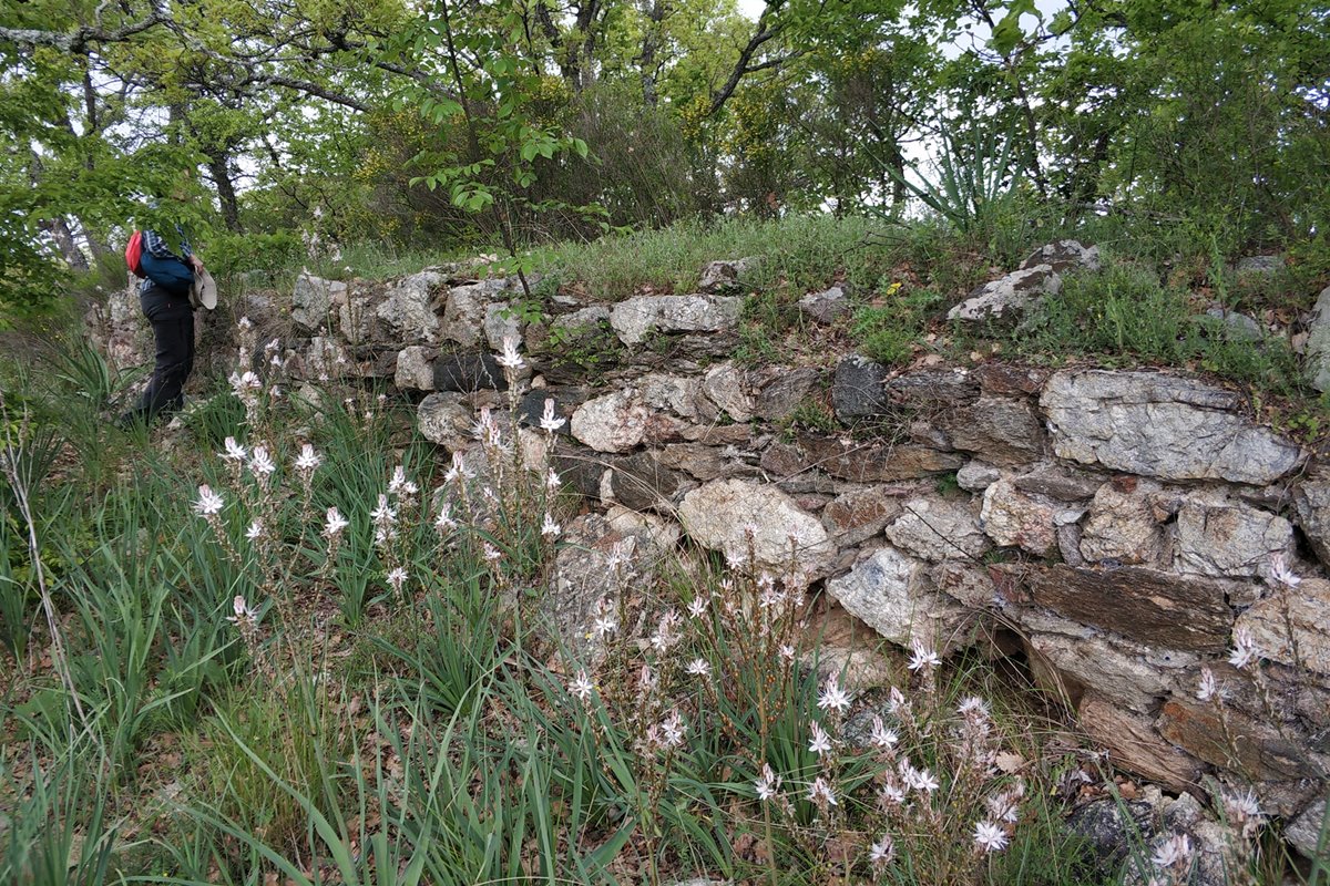
The construction technique (irregular stones with mortar, no bricks) and some ceramic surface finds indicate that the castle is not ancient but medieval and, more specifically, of the Early Byzantine Period.
It has similarities with some equally ruined castles of the same period in the prefecture of Serres.
The castles of this group were built at the end of the Pax Romana (sometimes – as here – in difficult locations) in the 3rd or 4th century AD. and as a rule they were abandoned in the 6th century - at the latest - when the raids of the various barbarian tribes (Slavs, Avars, etc.) intensified.
Structure, Fortification & Buildings
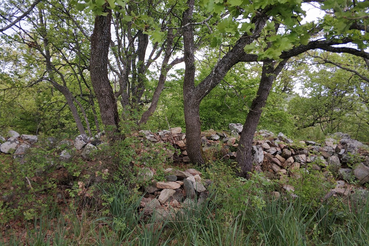
The castle is relatively large. It covers an area of 2.6 hectares which was protected by a fortified enclosure with a perimeter of 805m which is preserved along almost its entire length, while many parts are hidden by dense vegetation.
The maximum length of the fortified space is 300m and the maximum width is 120m.
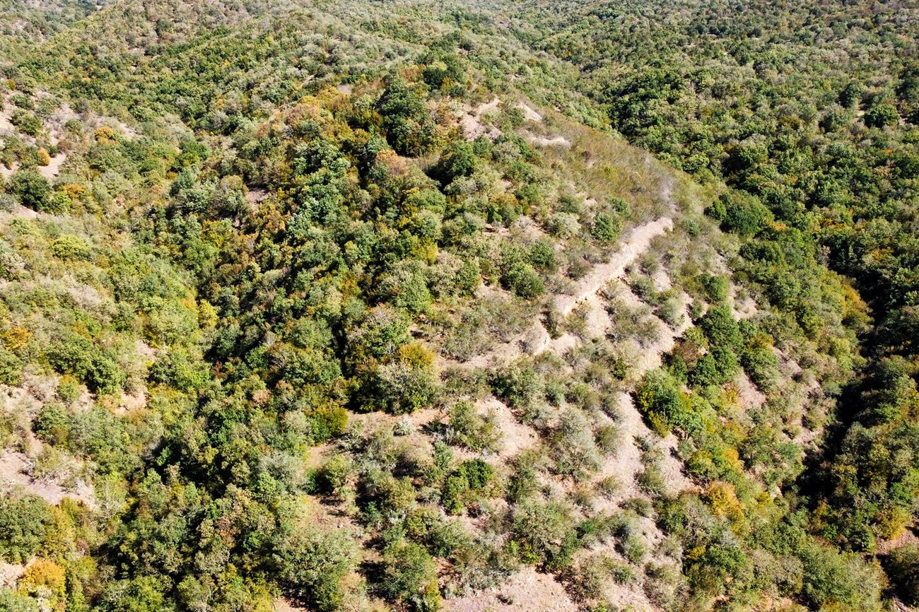
The castle has satisfactory physical protection. Two ravines protect the northern and southern slopes of the hill and join below the narrow western side.
The walls of the castle surround the hill. The hill has steep slopes on all sides.
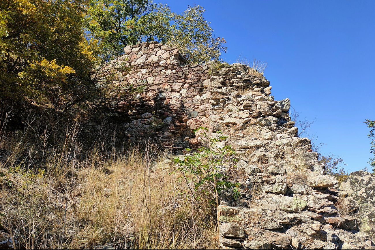
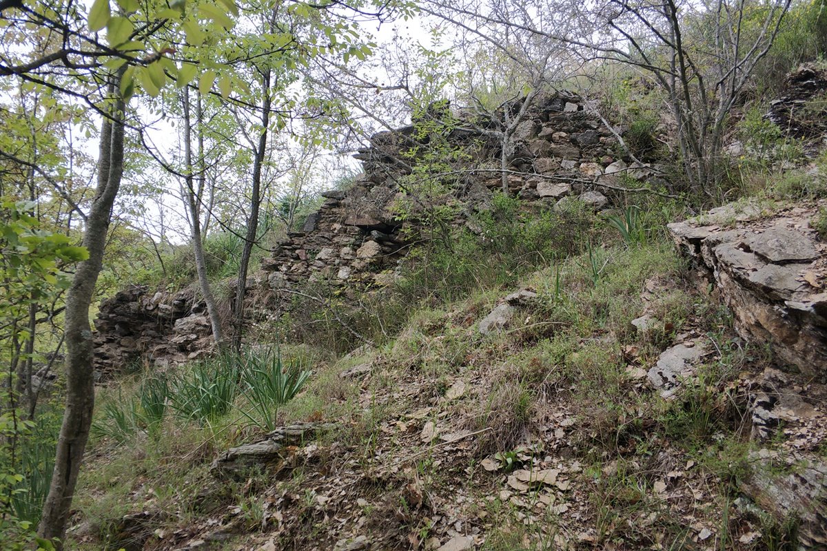
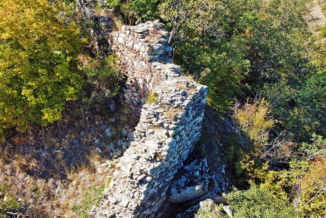
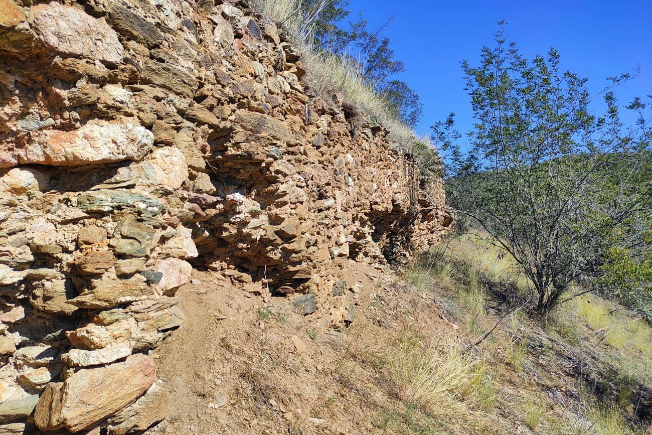
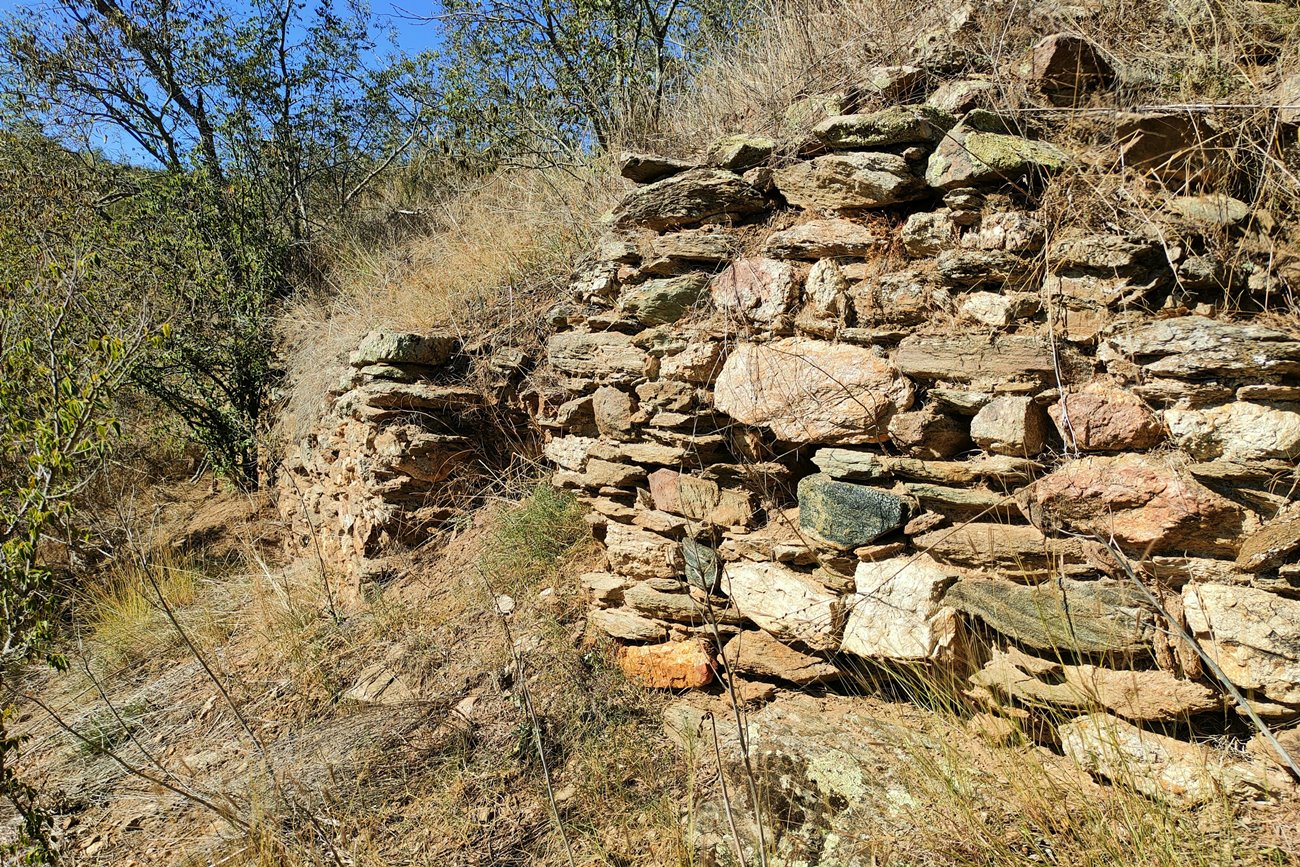
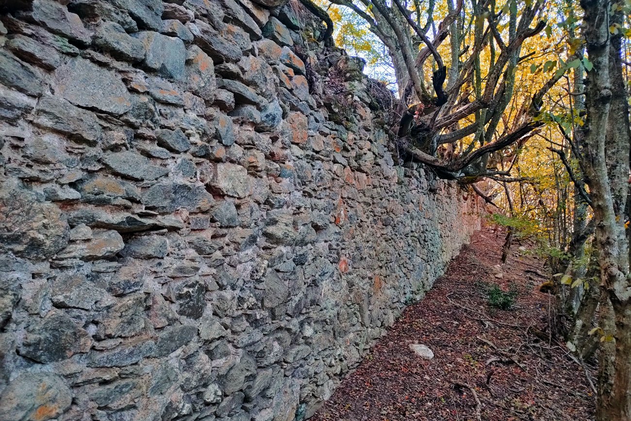
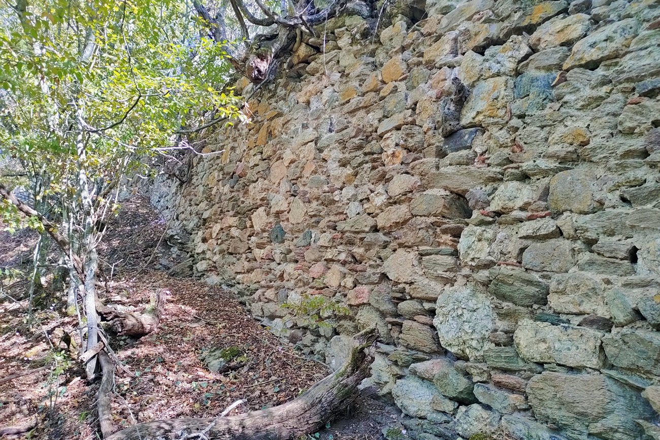
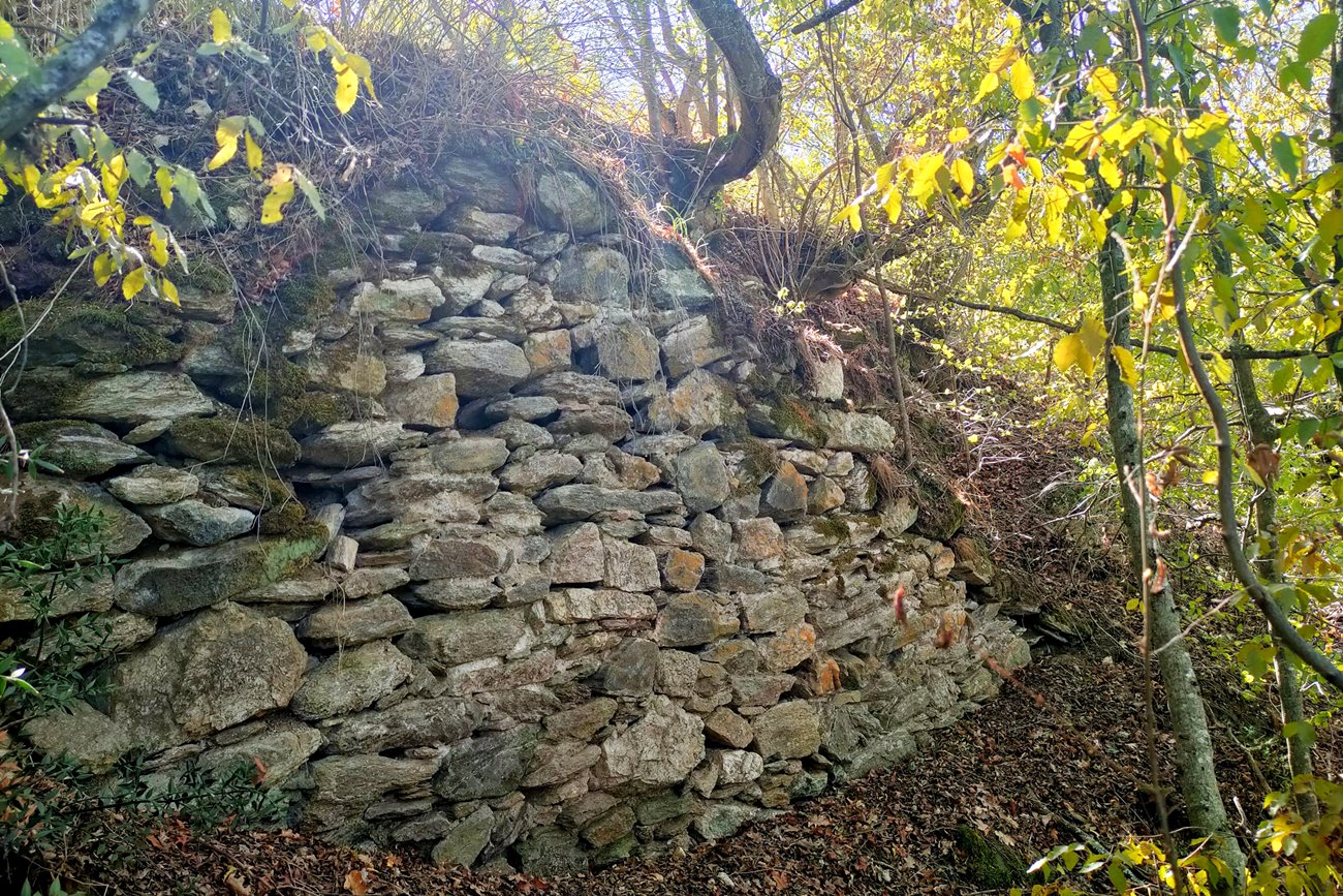
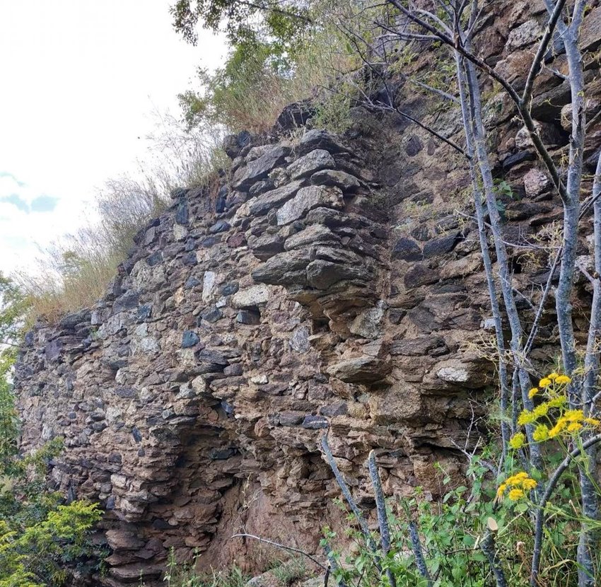
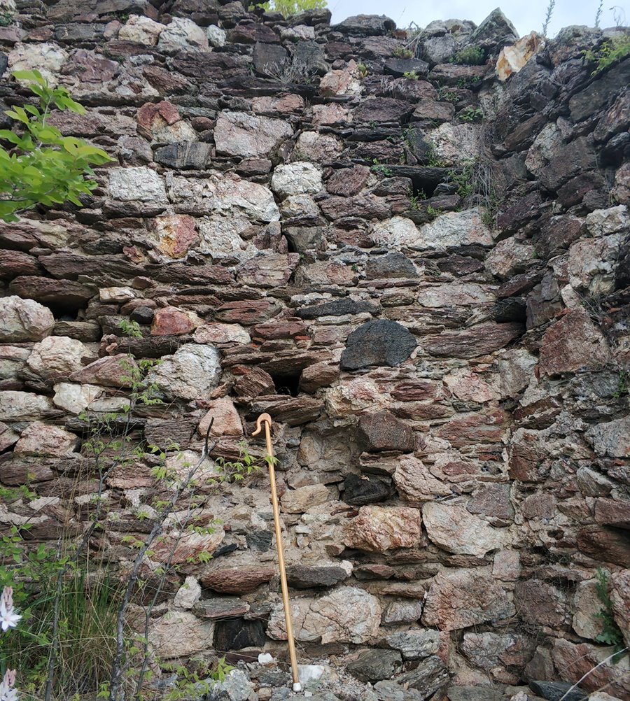
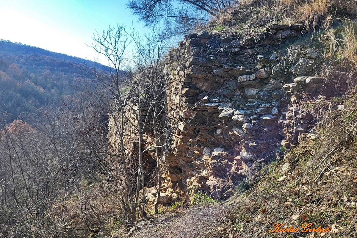
The wall still stands in several places at a considerable height. In general, the structure of the walls is mud stone construction consisting of irregular semi-finished stones and binding mortar (photo, 19). The thickness of the walls reaches 1.70m.
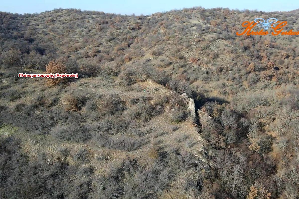
The best preserved wall is in the middle of the eastern side (photos 1,3,5,6), exactly where the wall makes a right angle. At this point the height reaches 4m and the thickness is 1.50-1.70m. This side was also the most vulnerable. It is separated from the opposite hill by a narrow steep neck. The rest of the wall on this side is preserved at a small height.
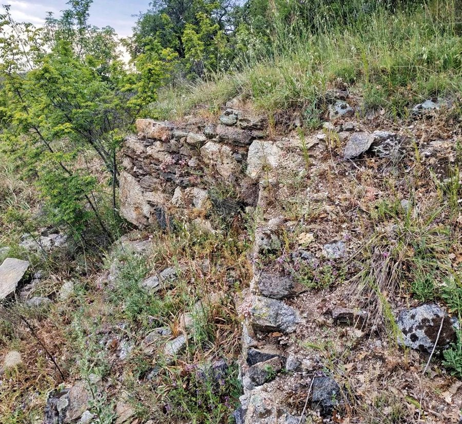
The entrance to the castle seems to have been in the south-east corner. In this corner, a buttress is preserved on the wall and at a distance of about 10-15m, part of another buttress is preserved on the south wall (photo 17).
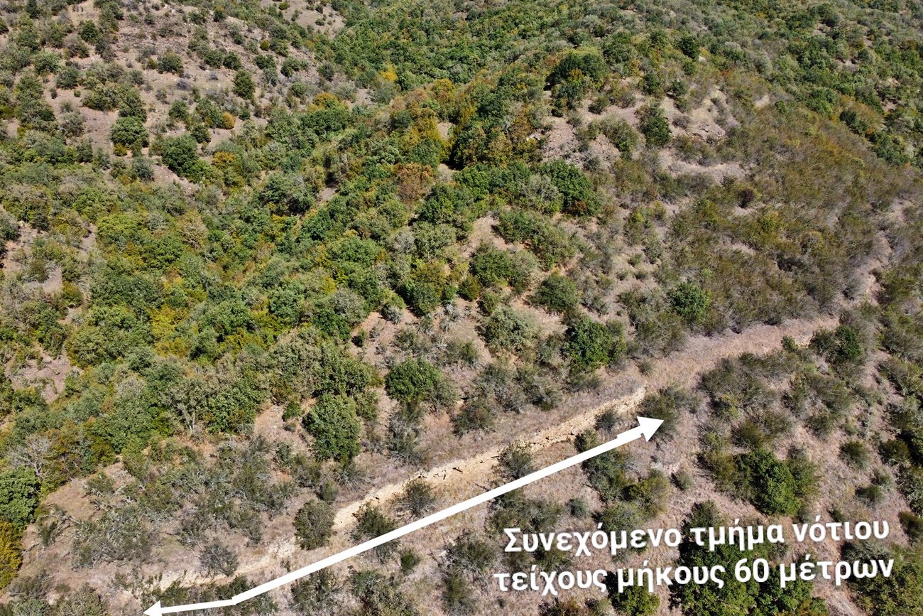
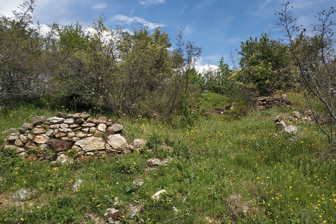
From here begins the long southern fortification with a length of 350m. Several wall sections with a maximum height of 3m are preserved (photos 9,10,11). In the western part of the southern wall, a single wall 60m long is preserved.
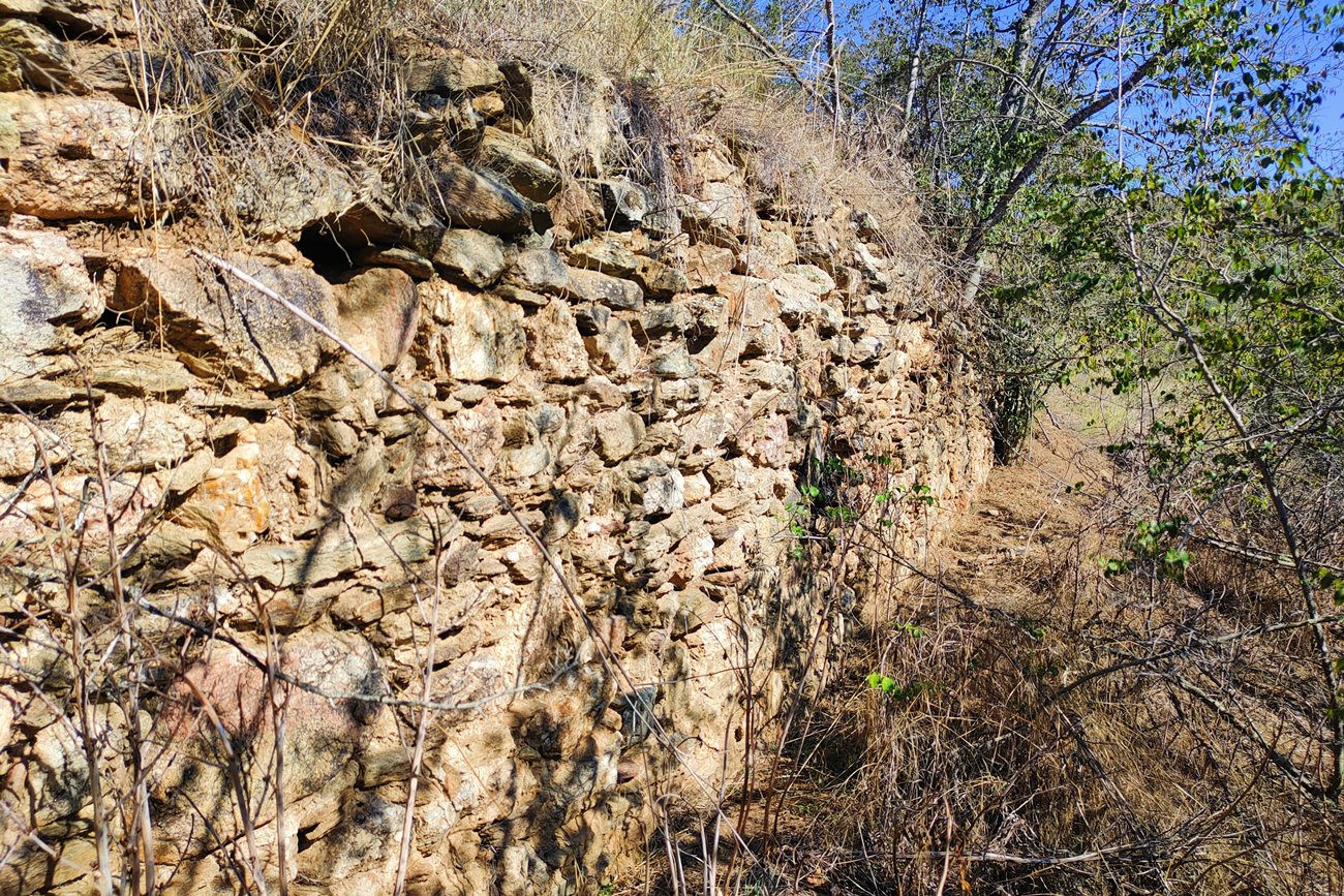
The northern side is 270m long and its wall is the most impressive. The maximum height is 3.5m while it also has a continuous section of 80m (photos 14, 15, 16).
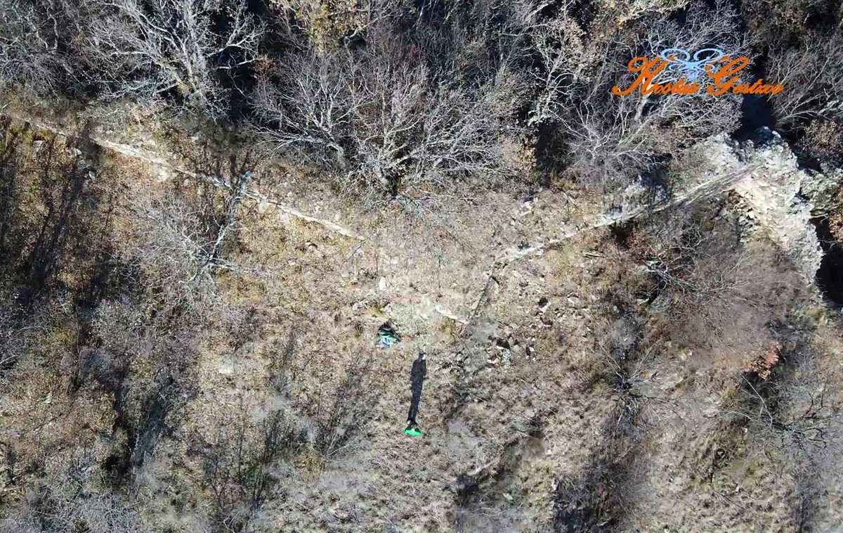
A small raised plateau is created at the top of the hill (where there are ruins of a tower and a church, see below). The plateau must have been protected by an internal fortification, which, however, has not been identified.
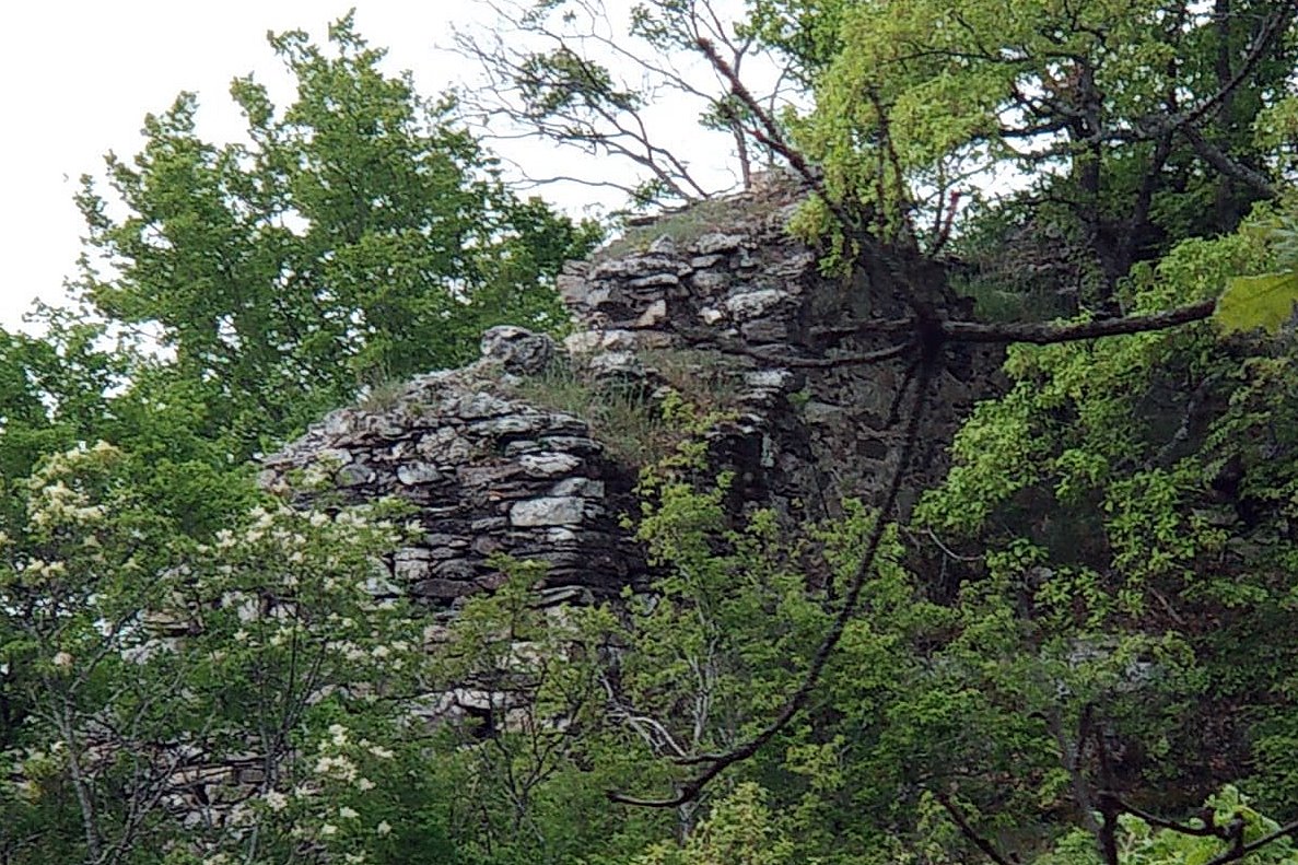
At the highest point, the remains of a unique tower can be seen, which is cut off from the rest of the fortification (photo 21).
On the upper plateau there are also ruins of a small one-room church. Around this church, box-shaped tombs belonging to a small cemetery of an unspecified era were found.
No ruins of other buildings were found inside. There are also no defensive towers in the fortified area. Even though the large size of the fortification suggests a settlement, the absence of these two elements (buildings inside and towers on the perimeter) raise doubts as to whether it really is a settlement. (But it probably was – after all, the area has never been systematically investigated.)
| First entry in Kastrologos: | May 2024 | Last update of info and text: | October 2024 | Last addition of photo/video: | January 2025 |
Sources
- Πληροφορίες και φωτογραφίες (2,3,4,18,19,20) Αντώνης Στάης και από τη σελίδα στο Facebook ΤΟ ΚΑΣΤΡΟ ΤΟΥ ΜΕΛΑΝΘΙΟΥ: (Μάιος 2023)
- Σ. Κίσσας, Ξ. Σαββοπούλου, «Το μεσαιωνικό κάστρο του Μελανθίου Κιλκίς», Ιστορικογεωγραφικά (1), Γιάννενα-Θεσσαλονίκη 1986, σελ. 203,204
- Info, research and photos(1, 5-17, 21) by Sakis Amfitreidis and his blog ΑΜΦΙΤΡΕΙΔΗΣ (Οκτώβριος 2024)
- Video by the user Kostas Gertzos ΚΑΣΤΡΟ στο ΜΕΛΑΝΘΙΟ ΚΙΛΚΙΣ. CASTLE of MELANTHIO, KILKIS., source of the photos 22-25 (January 2025)
|
|
| Access |
|---|
| Approach to the monument: |
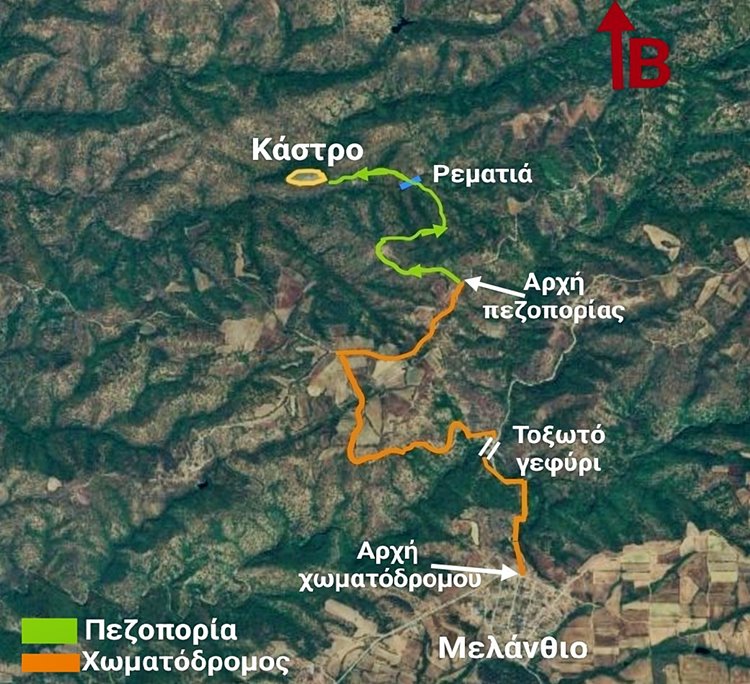 |
| Entrance: |
| Free access. |
| Other castles around |
|---|
| Paliokastro of Lachanas |
| Fortress of Aetos |
| Castle of Nea Santa |


